2021 Map of Gayville
USGS Topo · Published 2021About this map
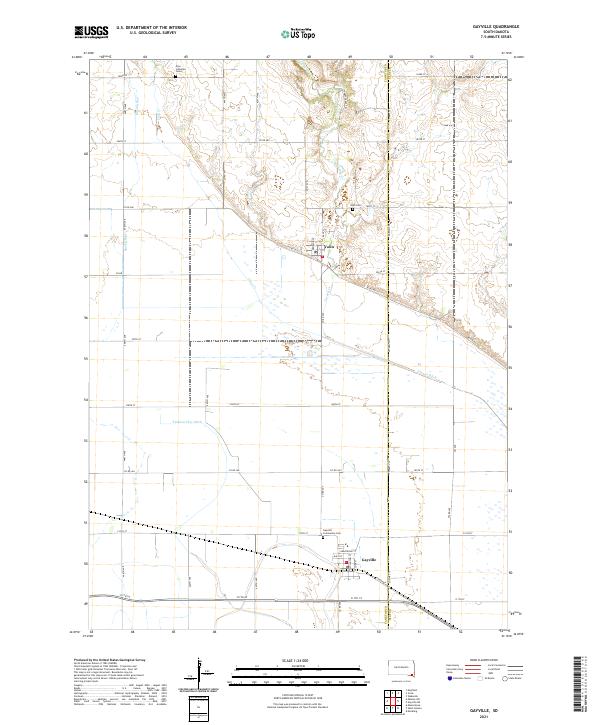
Gayville and Volin anchor this agricultural landscape along the border of Yankton and Clay Counties. The terrain is defined by a sophisticated water management system designed for the fertile bottomlands, featuring the Yankton Clay Ditch and Clay Cr Ditch which cut across the southern plains. Local history is preserved in several rural burial grounds, including the Zion Lutheran Cems in the northern hills and the Gayville Community Cem near the town center. The drainage patterns of Turkey Cr, Smoky Run, and Clay Cr reveal the natural topography that influenced early farmstead placement. This modern survey provides a detailed view of the sectional road grid, from 303rd St to 311th St, and the local street plans of the small settlements, such as Davis St and Armstrong St in Gayville.
Find a feature on this map
35 named features on this map. Tap any name to fly to it.
Don’t see what you’re looking for? This feature index may not catch every label — zoom into the map to look around manually.
Map Details
Editions of this 2021 Gayville Map
This is the sole edition of this map. No revisions or reprints were ever made.
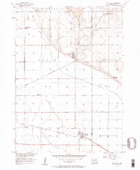
Historical Maps of Volin Through Time
Featured Locations
- Marindahl Township, SD
- Gayville Township, SD
- Star Township, SD
- Gayville, Gayville Township
- Volin, Volin Township