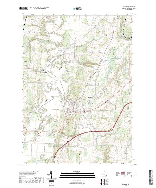
2023 Map of Geneseo
USGS Topo · Published 2023About this map
The Genesee River snakes through this landscape, creating a complex network of oxbows and flats that define the geography between Geneseo and Cuylerville. As the seat of Livingston County, Geneseo is anchored by the Livingston County Courthouse and the sprawling campus of SUNY Geneseo. The terrain transitions from the river's floodplains to higher ground marked by Dewey Hill and the dramatic incision of Wheelers Gully.
Find a feature on this map
83 named features on this map. Tap any name to fly to it.
Don’t see what you’re looking for? This feature index may not catch every label — zoom into the map to look around manually.
Map Details
Editions of this 2023 Geneseo Map
This is the sole edition of this map. No revisions or reprints were ever made.
Other maps of this area

1901 · Honeoye
USGS Topo · 1:62,500

1902 · Wayland
USGS Topo · 1:62,500

1904 · Wayland
USGS Topo · 1:62,500

1904 · Caledonia
USGS Topo · 1:62,500

1904 · Honeoye
USGS Topo · 1:62,500

1905 · Nunda
USGS Topo · 1:62,500

1934 · Rush
USGS Topo · 1:24,000

1942 · Conesus
USGS Topo · 1:31,680
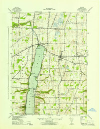
1942 · Livonia
USGS Topo · 1:31,680

1943 · Mount Morris
USGS Topo · 1:24,000