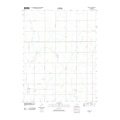
2009 Map of Geneva
USGS Topo · Published 2009About this map
Geneva serves as the focal point of this western Allen County landscape, situated amidst a grid of rural roads named for distant states and various numeric designations. The settlement pattern here reflects the organized agricultural expansion typical of the region, where family farms are bounded by thoroughfares like Virginia Rd and West Virginia Rd. Local history is anchored by the Geneva Cemetery and the Old Carlyle Cemetery, which provide vital touchstones for genealogical research in the area. The terrain is defined by the subtle drainage of several waterways, including Little Indian Creek, Indian Creek, Martin Creek, and Carlyle Creek, which wind through the agricultural sections and break up the rigid lines of the public land survey system.
Find a feature on this map
34 named features on this map. Tap any name to fly to it.
Don’t see what you’re looking for? This feature index may not catch every label — zoom into the map to look around manually.
Map Details
Editions of this 2009 Geneva Map
This is the sole edition of this map. No revisions or reprints were ever made.
Other maps of this area

1885 · Burlington
USGS Topo · 1:125,000

1885 · Garnett
USGS Topo · 1:125,000

1886 · Fredonia
USGS Topo · 1:125,000

1886 · Iola
USGS Topo · 1:125,000

1893 · Iola
USGS Topo · 1:125,000

1894 · Garnett
USGS Topo · 1:125,000

1894 · Fredonia
USGS Topo · 1:125,000

1894 · Burlington
USGS Topo · 1:125,000

1904 · Iola
USGS Topo · 1:125,000

1947 · Lawrence
USGS Topo · 1:250,000