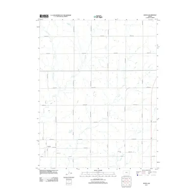
2012 Map of Geneva
USGS Topo · Published 2012About this map
Geneva sits as a quiet hub in this section of Allen County, characterized by a meticulously surveyed grid of roads named for various states and cardinal directions. The landscape is defined by the winding paths of several waterways, including Indian Cr and Little Indian Cr in the west, and Martin Cr and Carlyle Cr to the east. These creeks cut through the agricultural sections, creating natural deviations in an otherwise strictly partitioned territory. For those researching local family histories, the presence of the Geneva Cem near the town center and the Old Carlyle Cem further southeast provides specific points of interest for genealogical study. The road network, including SW Colorado Rd and SW Florida Rd, illustrates the systematic organization of the Kansas countryside in the early 21st century.
Find a feature on this map
34 named features on this map. Tap any name to fly to it.
Don’t see what you’re looking for? This feature index may not catch every label — zoom into the map to look around manually.
Map Details
Editions of this 2012 Geneva Map
This is the sole edition of this map. No revisions or reprints were ever made.
Other maps of this area

1885 · Burlington
USGS Topo · 1:125,000

1885 · Garnett
USGS Topo · 1:125,000

1886 · Fredonia
USGS Topo · 1:125,000

1886 · Iola
USGS Topo · 1:125,000

1893 · Iola
USGS Topo · 1:125,000

1894 · Garnett
USGS Topo · 1:125,000

1894 · Fredonia
USGS Topo · 1:125,000

1894 · Burlington
USGS Topo · 1:125,000

1904 · Iola
USGS Topo · 1:125,000

1947 · Lawrence
USGS Topo · 1:250,000