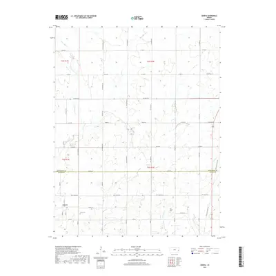
2018 Map of Geneva
USGS Topo · Published 2018About this map
Geneva sits in the southwestern portion of this landscape, a small settlement located at the junction of 475th St and Virginia Rd. The terrain is defined by a dense network of watercourses, including Little Indian Cr and Indian Cr in the north, while Cottonwood Cr and Carlyle Cr drain the southeastern fields. These streams weave through a geometric grid of rural routes such as SW 400th Rd and Wyoming Rd, illustrating the persistence of section-line planning in this Kansas borderland between Anderson and Allen counties.
Find a feature on this map
43 named features on this map. Tap any name to fly to it.
Don’t see what you’re looking for? This feature index may not catch every label — zoom into the map to look around manually.
Map Details
Editions of this 2018 Geneva Map
This is the sole edition of this map. No revisions or reprints were ever made.
Other maps of this area
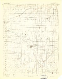
1885 · Burlington
USGS Topo · 1:125,000
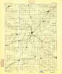
1885 · Garnett
USGS Topo · 1:125,000
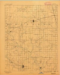
1886 · Fredonia
USGS Topo · 1:125,000
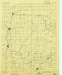
1886 · Iola
USGS Topo · 1:125,000
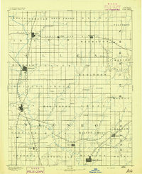
1893 · Iola
USGS Topo · 1:125,000
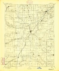
1894 · Garnett
USGS Topo · 1:125,000
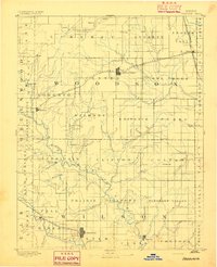
1894 · Fredonia
USGS Topo · 1:125,000
1894 · Burlington
USGS Topo · 1:125,000
1904 · Iola
USGS Topo · 1:125,000
1947 · Lawrence
USGS Topo · 1:250,000