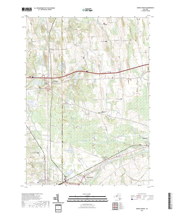
2023 Map of Geneva North
USGS Topo · Published 2023About this map
The boundary between Ontario and Seneca Counties bisects this Finger Lakes region landscape, where glacial features and small settlements define the character of the terrain. The northern portion is characterized by a series of north-south running ridges and wetlands, including Junius Ponds and the headwaters of Pond Brook. To the south, the Seneca River cuts across the lower quadrangle, anchoring the larger settlements of Waterloo and Border City. Small hamlets like Packwood Corners and West Junius mark local crossroads, surrounded by a high density of rural cemeteries such as Quaker Cem, Bowdish Cem, and Newton Cem. The presence of the Marion S Whelan School of Nursing in the southwest corner indicates the area's development as a regional hub for health and education in the modern era.
Find a feature on this map
93 named features on this map. Tap any name to fly to it.
Don’t see what you’re looking for? This feature index may not catch every label — zoom into the map to look around manually.
Map Details
Editions of this 2023 Geneva North Map
This is the sole edition of this map. No revisions or reprints were ever made.
Other maps of this area

1899 · Palmyra
USGS Topo · 1:62,500

1902 · Geneva
USGS Topo · 1:62,500

1902 · Clyde
USGS Topo · 1:62,500

1902 · Phelps
USGS Topo · 1:62,500

1902 · Palmyra
USGS Topo · 1:62,500

1942 · Stanley
USGS Topo · 1:31,680

1943 · Lyons
USGS Topo · 1:31,680

1943 · Geneva North
USGS Topo · 1:31,680

1943 · Geneva South
USGS Topo · 1:31,680

1943 · Phelps
USGS Topo · 1:31,680