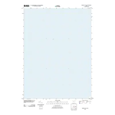
2010 Map of Geneva OE N
USGS Topo · Published 2010About this map
Lake Erie dominates this offshore survey, providing a focused view of the northern waters of Saybrook Township in Ashtabula County. The sheet serves as a clear record of the coastline's bathymetry and the maritime reaches of northern Ohio as they appeared during the early twenty-first century. For researchers and historians, this map offers an unencumbered perspective on the shoreline and the expansive aquatic boundary that has long defined the commercial and recreational character of this Great Lakes region.
Find a feature on this map
1 named feature on this map. Tap any name to fly to it.
Don’t see what you’re looking for? This feature index may not catch every label — zoom into the map to look around manually.
Map Details
Editions of this 2010 Geneva OE N Map
This is the sole edition of this map. No revisions or reprints were ever made.
Other maps of this area

1905 · Ashtabula
USGS Topo · 1:62,500

1905 · Perry
USGS Topo · 1:62,500

1950 · Cleveland
USGS Topo · 1:250,000

1950 · Erie
USGS Topo · 1:250,000

1956 · Cleveland
USGS Topo · 1:250,000

1959 · Erie
USGS Topo · 1:250,000

1960 · Ashtabula South
USGS Topo · 1:24,000
1960 · Ashtabula North
USGS Topo · 1:24,000
1960 · Geneva
USGS Topo · 1:24,000
1960 · Madison
USGS Topo · 1:24,000