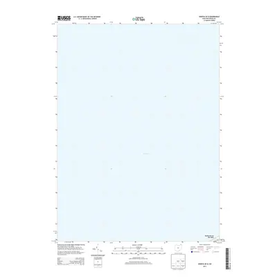
2013 Map of Geneva OE N
USGS Topo · Published 2013About this map
Lake Erie dominates this coastal survey, where the deep waters of the Great Lakes meet the northern shores of Ashtabula County. The map provides a focused view of the shoreline in the early twenty-first century, specifically highlighting the residential pocket of Saybrook-on-the-lake. Because much of the area depicted is open water, the sheet provides a precise record of the lakefront geography and the small-scale development patterns at the edge of the township. Researchers can observe the concentration of roadways and settlement in this specific lakefront community, which contrasts with the vast expanse of the lake itself.
Find a feature on this map
2 named features on this map. Tap any name to fly to it.
Don’t see what you’re looking for? This feature index may not catch every label — zoom into the map to look around manually.
Map Details
Editions of this 2013 Geneva OE N Map
This is the sole edition of this map. No revisions or reprints were ever made.
Other maps of this area
1905 · Ashtabula
USGS Topo · 1:62,500
1905 · Perry
USGS Topo · 1:62,500
1950 · Cleveland
USGS Topo · 1:250,000
1950 · Erie
USGS Topo · 1:250,000
1956 · Cleveland
USGS Topo · 1:250,000
1959 · Erie
USGS Topo · 1:250,000
1960 · Ashtabula South
USGS Topo · 1:24,000
1960 · Ashtabula North
USGS Topo · 1:24,000
1960 · Geneva
USGS Topo · 1:24,000
1960 · Madison
USGS Topo · 1:24,000