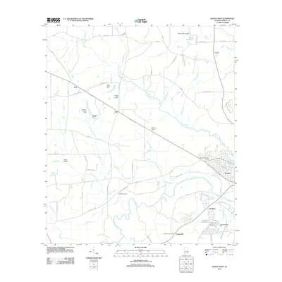
2011 Map of Geneva West
USGS Topo · Published 2011About this map
The Pea River and its meandering tributaries dominate the landscape of southeastern Alabama in this 2011 survey. The city of Geneva sits at the eastern edge, where the urban grid gives way to rural communities like Somerset and Vaughanville. The terrain is defined by a dense network of waterways, including Double Bridges Creek and Laddon Creek, which flow through the lowlands south of Steep Hollow. Local history is preserved in numerous family and community burial grounds, such as Eden Cemetery, McDuffie Cemetery, and Vaughanville Cemetery, reflecting the area's long-standing agricultural roots.
Find a feature on this map
79 named features on this map. Tap any name to fly to it.
Don’t see what you’re looking for? This feature index may not catch every label — zoom into the map to look around manually.
Map Details
Editions of this 2011 Geneva West Map
This is the sole edition of this map. No revisions or reprints were ever made.
Other maps of this area

1942 · Enterprise
USGS Topo · 1:125,000

1949 · Glendale
USGS Topo · 1:62,500

1949 · Hobbs Crossroads
USGS Topo · 1:24,000

1950 · Hobbs Cross Roads
USGS Topo · 1:24,000

1950 · Izagora
USGS Topo · 1:24,000

1951 · Glendale
USGS Topo · 1:62,500

1953 · Andalusia
USGS Topo · 1:250,000

1953 · Dothan
USGS Topo · 1:250,000

1954 · Dothan
USGS Topo · 1:250,000

1954 · Tallahassee
USGS Topo · 1:250,000