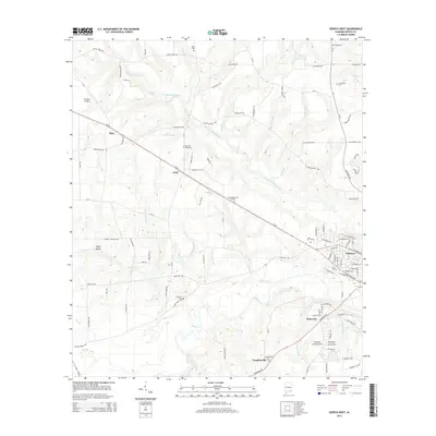
2014 Map of Geneva West
USGS Topo · Published 2014About this map
The confluence of the Pea River and its various tributaries, such as Double Bridges Creek and Sandy Cr, dominates this landscape in Geneva County. The city of Geneva sits at the eastern edge, showing a detailed street grid and residential expansion at the time of this survey. To the west, the rural character is defined by a network of county roads connecting smaller communities and named locales like Somerset, Lytle, and Vaughanville.
Find a feature on this map
118 named features on this map. Tap any name to fly to it.
Don’t see what you’re looking for? This feature index may not catch every label — zoom into the map to look around manually.
Map Details
Editions of this 2014 Geneva West Map
This is the sole edition of this map. No revisions or reprints were ever made.
Other maps of this area

1942 · Enterprise
USGS Topo · 1:125,000

1949 · Glendale
USGS Topo · 1:62,500

1949 · Hobbs Crossroads
USGS Topo · 1:24,000

1950 · Hobbs Cross Roads
USGS Topo · 1:24,000

1950 · Izagora
USGS Topo · 1:24,000

1951 · Glendale
USGS Topo · 1:62,500

1953 · Andalusia
USGS Topo · 1:250,000

1953 · Dothan
USGS Topo · 1:250,000

1954 · Dothan
USGS Topo · 1:250,000

1954 · Tallahassee
USGS Topo · 1:250,000