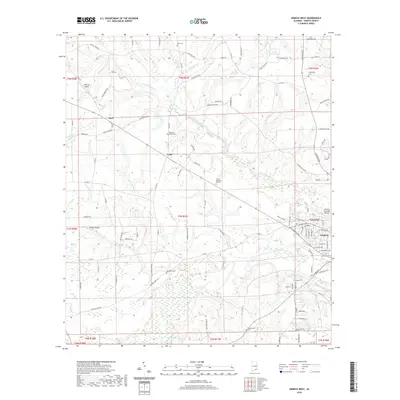
2020 Map of Geneva West
USGS Topo · Published 2020About this map
The Pea River and its intricate network of tributaries, including Double Bridges Creek and Threemile Br, define the landscape of Geneva County. This survey captures the transition from the city of Geneva into the rural outlying areas, where historical family names and local landmarks persist. For genealogists, the map is a vital resource for locating small, rural burial grounds such as McDuffie Cem, Pleasant Ridge Cem, and Eden Cem. The presence of Stephens Ferry Rd hints at early river crossings that preceded modern infrastructure. Aviation interest is noted through both the Geneva Municipal Airport and the smaller Fairlane Airport. The map also details small unincorporated communities like Marl and Lytle, providing a clear view of their residential and agricultural footprints in the twenty-first century.
Find a feature on this map
82 named features on this map. Tap any name to fly to it.
Don’t see what you’re looking for? This feature index may not catch every label — zoom into the map to look around manually.
Map Details
Editions of this 2020 Geneva West Map
This is the sole edition of this map. No revisions or reprints were ever made.
Other maps of this area

1942 · Enterprise
USGS Topo · 1:125,000

1949 · Glendale
USGS Topo · 1:62,500

1949 · Hobbs Crossroads
USGS Topo · 1:24,000

1950 · Hobbs Cross Roads
USGS Topo · 1:24,000

1950 · Izagora
USGS Topo · 1:24,000

1951 · Glendale
USGS Topo · 1:62,500

1953 · Andalusia
USGS Topo · 1:250,000

1953 · Dothan
USGS Topo · 1:250,000

1954 · Dothan
USGS Topo · 1:250,000

1954 · Tallahassee
USGS Topo · 1:250,000