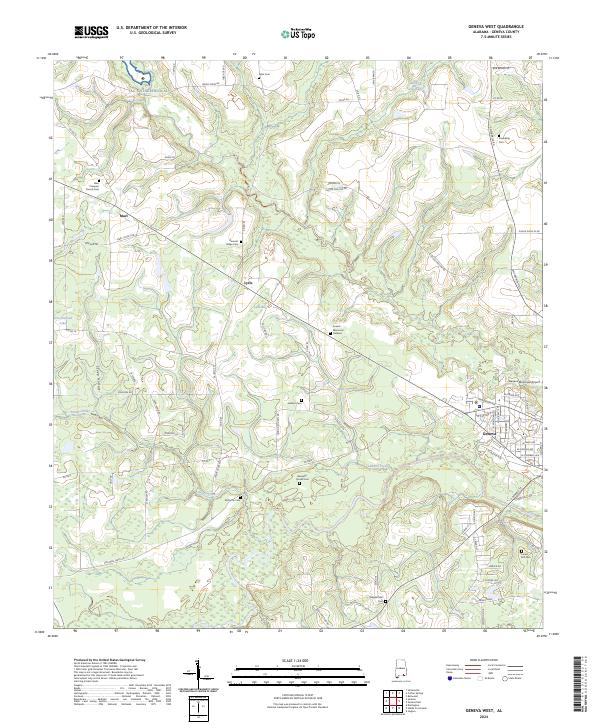
2024 Map of Geneva West
USGS Topo · Published 2024About this map
Geneva sits at the confluence of the Pea River and Laddon Creek, serving as the primary hub in this southern Alabama landscape. The surrounding countryside is defined by agricultural lands and small settlements like Marl and Lytle, interspersed with a high density of rural burial grounds that speak to the area's deep family roots. Locations such as McDuffie Cem, Bennett-Stovall Cem, and New Prospect Church Cem are scattered across the terrain, often situated near small drainages like Sandy Creek.
Find a feature on this map
91 named features on this map. Tap any name to fly to it.
Don’t see what you’re looking for? This feature index may not catch every label — zoom into the map to look around manually.
Map Details
Editions of this 2024 Geneva West Map
This is the sole edition of this map. No revisions or reprints were ever made.
Other maps of this area

1942 · Enterprise
USGS Topo · 1:125,000

1949 · Glendale
USGS Topo · 1:62,500

1949 · Hobbs Crossroads
USGS Topo · 1:24,000

1950 · Hobbs Cross Roads
USGS Topo · 1:24,000

1950 · Izagora
USGS Topo · 1:24,000

1951 · Glendale
USGS Topo · 1:62,500

1953 · Andalusia
USGS Topo · 1:250,000

1953 · Dothan
USGS Topo · 1:250,000

1954 · Dothan
USGS Topo · 1:250,000

1954 · Tallahassee
USGS Topo · 1:250,000