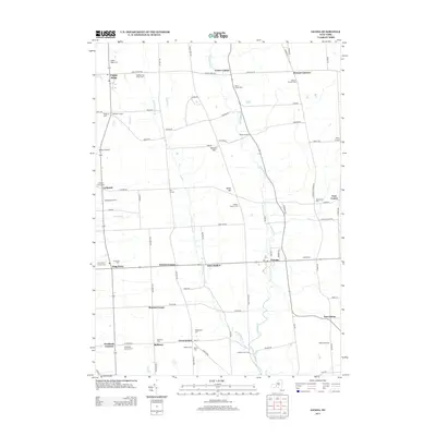
2013 Map of Genoa
USGS Topo · Published 2013About this map
Big Salmon Creek and its many tributaries, including Little Salmon Creek and Paines Creek, carve through this central New York landscape. This 2013 survey reveals a high density of small settlements and intersections that have anchored the community for generations, such as King Ferry, Five Corners, and Genoa. The land remains primarily agricultural, evidenced by named properties like Backbone Hill Farm and Eikendale Farms.
Find a feature on this map
93 named features on this map. Tap any name to fly to it.
Don’t see what you’re looking for? This feature index may not catch every label — zoom into the map to look around manually.
Map Details
Editions of this 2013 Genoa Map
This is the sole edition of this map. No revisions or reprints were ever made.
Other maps of this area

1898 · Moravia
USGS Topo · 1:62,500

1899 · Auburn
USGS Topo · 1:62,500

1899 · Skaneateles
USGS Topo · 1:62,500

1902 · Skaneateles
USGS Topo · 1:62,500

1902 · Moravia
USGS Topo · 1:62,500

1902 · Genoa
USGS Topo · 1:62,500

1902 · Auburn
USGS Topo · 1:62,500

1942 · Ludlowville
USGS Topo · 1:24,000

1942 · Sheldrake
USGS Topo · 1:24,000

1942 · Genoa
USGS Topo · 1:24,000