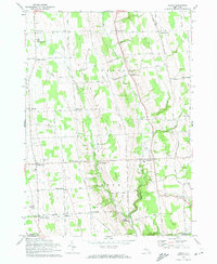
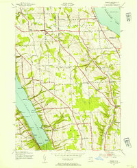
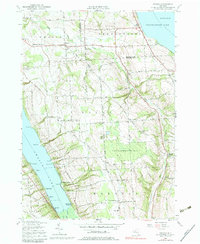
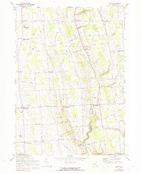
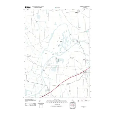
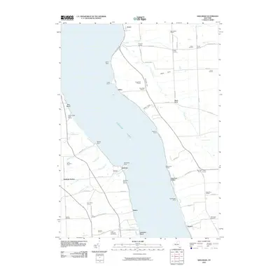
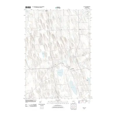
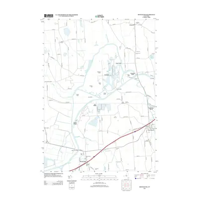
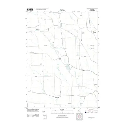
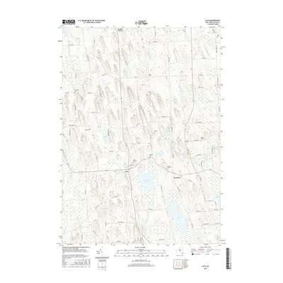
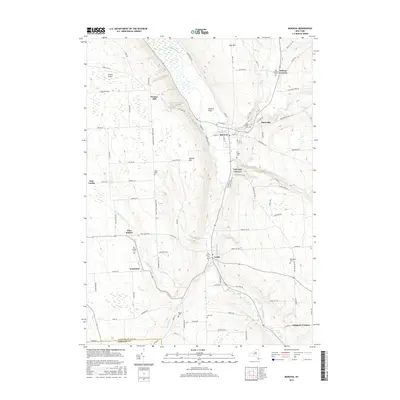
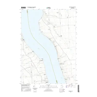
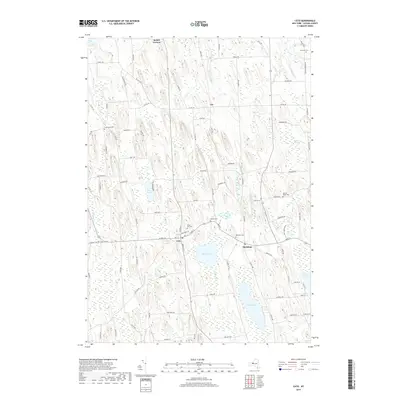
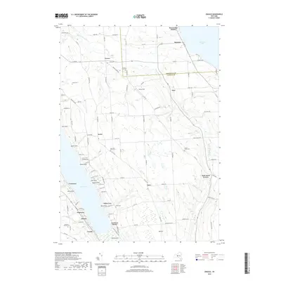
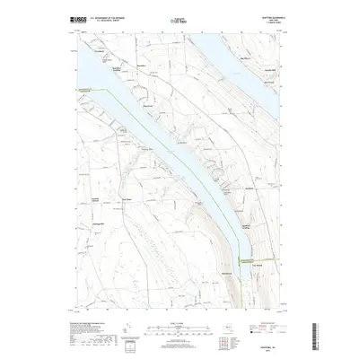
1970 Map of Genoa
USGS Topo · Published 1974About this map
Big Salmon Creek and Little Salmon Creek carve deep valleys through the agricultural heart of southern Cayuga County, shaping the settlement patterns seen in this 1970 revision. The landscape is defined by a dense network of upland hamlets and family-named intersections, including Poplar Ridge, Venice Center, and King Ferry. These communities serve as anchors for a rural economy, where the grid of farm roads like Indian Field Road and Poplar Ridge Road connects scattered homesteads to local centers of education and worship.
Find a feature on this map
61 named features on this map. Tap any name to fly to it.
Don’t see what you’re looking for? This feature index may not catch every label — zoom into the map to look around manually.
Map Details
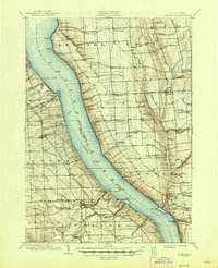
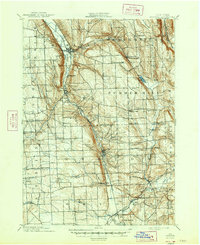
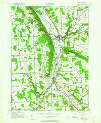
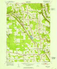
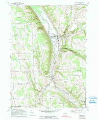
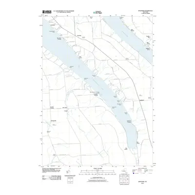
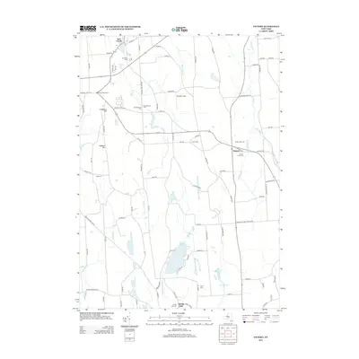
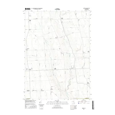
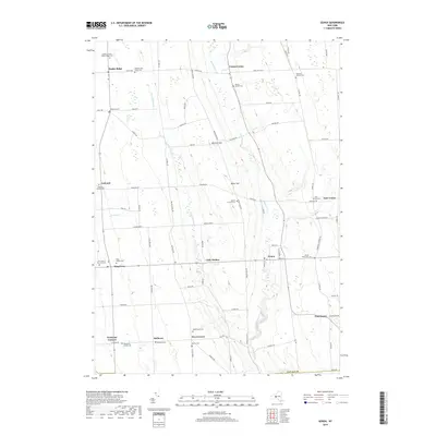
Editions of this 1970 Genoa Map
2 editions found
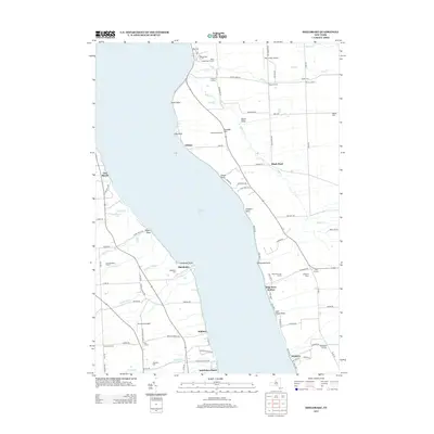
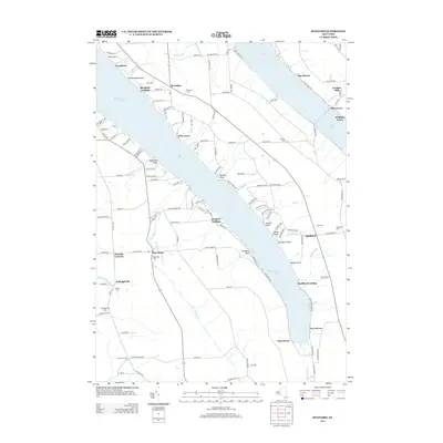
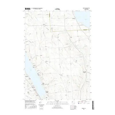
Historical Maps of Lansing Through Time
82 maps found

1898 Moravia
Cayuga County, NY
1902 Genoa
Cayuga County, NY
1902 Moravia
Cayuga County, NY

1942 Genoa
Cayuga County, NY

1942 Sheldrake
Cayuga County, NY

1943 Cato
Cayuga County, NY

1943 Genoa
Cayuga County, NY

1943 Montezuma
Cayuga County, NY
1943 Moravia
Cayuga County, NY
1943 Owasco
Cayuga County, NY

1943 Scipio
Cayuga County, NY
1943 Sempronius
Cayuga County, NY

1943 Sheldrake
Cayuga County, NY

1943 Spafford
Cayuga County, NY

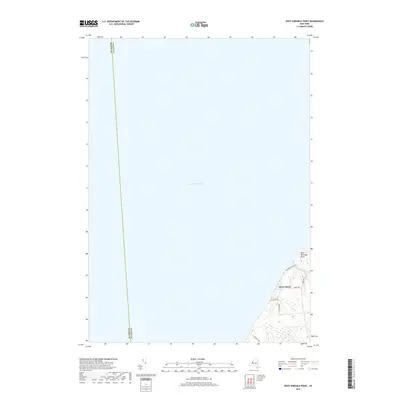
1943 West Ninemile Point
Cayuga County, NY

1949 Moravia
Cayuga County, NY
1954 Cato
Cayuga County, NY
1954 Montezuma
Cayuga County, NY

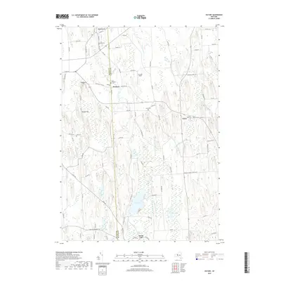
1954 Victory
Cayuga County, NY
1954 West Ninemile Point
Cayuga County, NY
1955 Owasco
Cayuga County, NY
1955 Spafford
Cayuga County, NY
1956 Scipio Center
Cayuga County, NY
1970 Genoa
Cayuga County, NY
1971 Moravia
Cayuga County, NY

1971 Sempronius
Cayuga County, NY
1971 Sheldrake
Cayuga County, NY
2010 Genoa
Cayuga County, NY
2010 Montezuma
Cayuga County, NY
2010 Owasco
Cayuga County, NY
2010 Scipio Center
Cayuga County, NY
2010 Sempronius
Cayuga County, NY
2010 Sheldrake
Cayuga County, NY
2010 Spafford
Cayuga County, NY
2010 Victory
Cayuga County, NY
2010 West Ninemile Point
Cayuga County, NY
2011 Cato
Cayuga County, NY
2011 Moravia
Cayuga County, NY
2013 Cato
Cayuga County, NY
2013 Genoa
Cayuga County, NY
2013 Montezuma
Cayuga County, NY
2013 Moravia
Cayuga County, NY
2013 Owasco
Cayuga County, NY
2013 Scipio Center
Cayuga County, NY
2013 Sempronius
Cayuga County, NY
2013 Sheldrake
Cayuga County, NY
2013 Spafford
Cayuga County, NY
2013 Victory
Cayuga County, NY
2013 West Ninemile Point
Cayuga County, NY
2016 Cato
Cayuga County, NY
2016 Genoa
Cayuga County, NY
2016 Montezuma
Cayuga County, NY
2016 Moravia
Cayuga County, NY
2016 Owasco
Cayuga County, NY
2016 Scipio Center
Cayuga County, NY
2016 Sempronius
Cayuga County, NY
2016 Sheldrake
Cayuga County, NY
2016 Spafford
Cayuga County, NY
2016 Victory
Cayuga County, NY
2016 West Ninemile Point
Cayuga County, NY
2019 Cato
Cayuga County, NY
2019 Genoa
Cayuga County, NY
2019 Montezuma
Cayuga County, NY
2019 Moravia
Cayuga County, NY
2019 Owasco
Cayuga County, NY
2019 Scipio Center
Cayuga County, NY
2019 Sempronius
Cayuga County, NY
2019 Sheldrake
Cayuga County, NY
2019 Spafford
Cayuga County, NY
2019 Victory
Cayuga County, NY
2019 West Ninemile Point
Cayuga County, NY

2023 Cato
Cayuga County, NY

2023 Genoa
Cayuga County, NY

2023 Montezuma
Cayuga County, NY

2023 Moravia
Cayuga County, NY

2023 Owasco
Cayuga County, NY

2023 Scipio Center
Cayuga County, NY

2023 Sempronius
Cayuga County, NY

2023 Sheldrake
Cayuga County, NY

2023 Spafford
Cayuga County, NY

2023 Victory
Cayuga County, NY
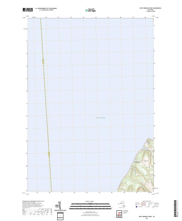
2023 West Ninemile Point
Cayuga County, NY