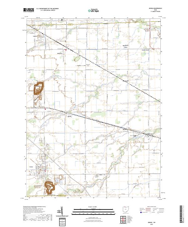
2023 Map of Genoa
USGS Topo · Published 2023About this map
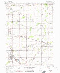
The village of Genoa anchors the southern portion of this landscape, situated near the boundary between Ottawa and Sandusky counties. The area is characterized by a series of small rural settlements including Williston, Clay Center, and Graytown, connected by a grid of agricultural roads and long-standing township lines. Waterways like Packer Creek and the meandering Toussaint Creek drain the flat lowlands toward Lake Erie, influencing the layout of local cemeteries such as the Elliston Cem and Williston Cem. Small-scale aviation is a distinct local feature, represented by both the Toussaint Airpark and the Bea-D Airport. This contemporary survey reflects the enduring agricultural character of northern Ohio, where the distribution of crossroads communities like Blackberry Corner and Grodis Corner remains largely unchanged since the early days of settlement.
Find a feature on this map
52 named features on this map. Tap any name to fly to it.
Don’t see what you’re looking for? This feature index may not catch every label — zoom into the map to look around manually.
Map Details
Editions of this 2023 Genoa Map
This is the sole edition of this map. No revisions or reprints were ever made.
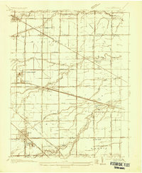
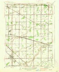
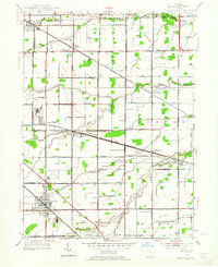
Historical Maps of Ingraham Subdivision Through Time
5 maps found
Featured Locations
- Ingraham Subdivision, OH
- Allen Township, OH
- Clay Township, OH
- Clay Center, Allen Township
- Genoa, Clay Township