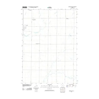
2010 Map of George East
USGS Topo · Published 2010About this map
Agricultural lands and prairie drainage basins define the landscape of eastern Lyon County on this 2010 survey. The eastern portion of George sits at the western edge of the map, while the surrounding countryside is organized by a strict grid of gravel roads and section lines. Several historic burial grounds, including the Lyon County First Presbyterian Church Cemetery and the First Baptist Church Cemetery, are scattered across the landscape, serving as landmarks for local genealogists.
Find a feature on this map
29 named features on this map. Tap any name to fly to it.
Don’t see what you’re looking for? This feature index may not catch every label — zoom into the map to look around manually.
Map Details
Editions of this 2010 George East Map
This is the sole edition of this map. No revisions or reprints were ever made.
Other maps of this area

1954 · Fairmont
USGS Topo · 1:250,000

1955 · Sioux Falls
USGS Topo · 1:250,000

1958 · Sioux Falls
USGS Topo · 1:250,000

1958 · Fairmont
USGS Topo · 1:250,000

1964 · Matlock
USGS Topo · 1:24,000

1964 · Sheldon
USGS Topo · 1:24,000

1964 · Boyden
USGS Topo · 1:24,000

1971 · Edna
USGS Topo · 1:24,000

1971 · George West
USGS Topo · 1:24,000

1972 · Ashton
USGS Topo · 1:24,000