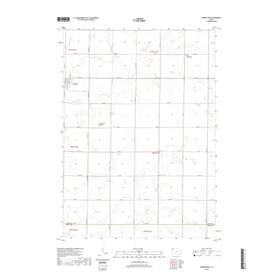
2018 Map of George East
USGS Topo · Published 2018About this map
George sits at the western edge of this agricultural landscape in northwestern Iowa, where the Little Rock River and Rio Grande Cr define the local drainage patterns. The area is characterized by a dense grid of township roads and section lines that organize the rural countryside. For genealogists and local historians, the map preserves the exact locations of several significant religious landmarks, including the Lyon County First Presbyterian Church Cem, the Zoar Presbyterian Church Cem, and Zion Cem. Smaller tributaries like Whitney Cr, Zoar Cr, and Rat Cr meander through the fields, eventually feeding into the Otter Cr system. The map also documents the boundary between Lyon Co and Sioux Co along the southern edge.
Find a feature on this map
42 named features on this map. Tap any name to fly to it.
Don’t see what you’re looking for? This feature index may not catch every label — zoom into the map to look around manually.
Map Details
Editions of this 2018 George East Map
This is the sole edition of this map. No revisions or reprints were ever made.
Other maps of this area

1954 · Fairmont
USGS Topo · 1:250,000

1955 · Sioux Falls
USGS Topo · 1:250,000

1958 · Sioux Falls
USGS Topo · 1:250,000

1958 · Fairmont
USGS Topo · 1:250,000

1964 · Matlock
USGS Topo · 1:24,000

1964 · Sheldon
USGS Topo · 1:24,000

1964 · Boyden
USGS Topo · 1:24,000

1971 · Edna
USGS Topo · 1:24,000

1971 · George West
USGS Topo · 1:24,000

1972 · Ashton
USGS Topo · 1:24,000