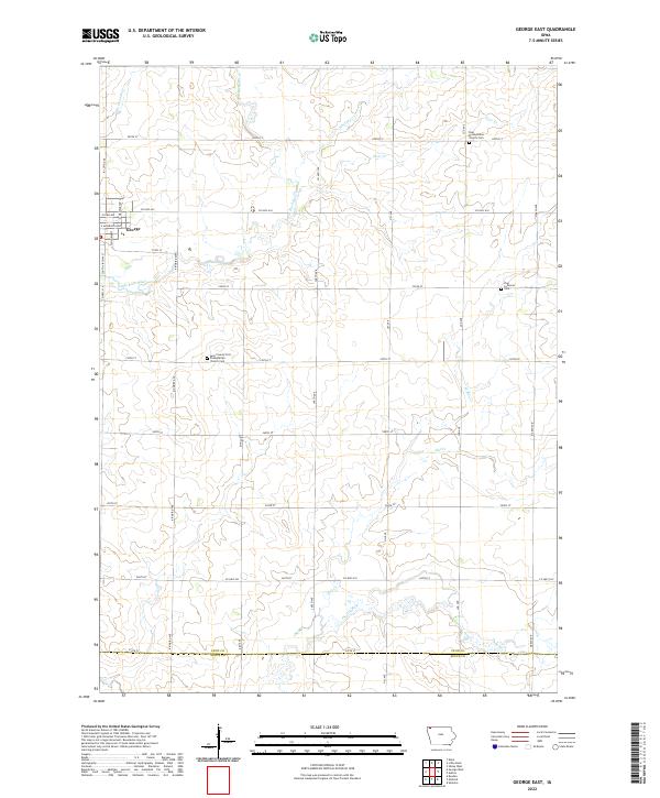
2022 Map of George East
USGS Topo · Published 2022About this map
The eastern periphery of George and the surrounding agricultural landscapes of Lyon County are defined here by a network of creeks and small tributaries feeding the Little Rock River. In this western Iowa prairie region, the map documents a strictly rectilinear grid of section lines and county roads, including Co Hwy A34 and Co Hwy L20, which navigate the gentle undulations of the drainage basins. Scattered church sites and burial grounds serve as the primary landmarks for local history, notably the Zoar Presbyterian Church Cem in the north and the Zion Lutheran Cem to the east. These points, along with the Lyon County First Presbyterian Church Cem, represent the social and spiritual hubs of the farming community. The southern edge of the survey reaches the Lyon Co Sioux Co line, where Otter Cr winds through the fields.
Find a feature on this map
45 named features on this map. Tap any name to fly to it.
Don’t see what you’re looking for? This feature index may not catch every label — zoom into the map to look around manually.
Map Details
Editions of this 2022 George East Map
This is the sole edition of this map. No revisions or reprints were ever made.
Other maps of this area

1954 · Fairmont
USGS Topo · 1:250,000

1955 · Sioux Falls
USGS Topo · 1:250,000

1958 · Sioux Falls
USGS Topo · 1:250,000

1958 · Fairmont
USGS Topo · 1:250,000

1964 · Matlock
USGS Topo · 1:24,000

1964 · Sheldon
USGS Topo · 1:24,000

1964 · Boyden
USGS Topo · 1:24,000

1971 · Edna
USGS Topo · 1:24,000

1971 · George West
USGS Topo · 1:24,000

1972 · Ashton
USGS Topo · 1:24,000