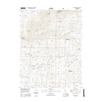
2015 Map of Georgetown
USGS Topo · Published 2015About this map
Georgetown and the surrounding Divide country of El Dorado County are defined by a complex network of canyons and historic water management. The Georgetown Divide Ditch winds through the terrain, a testament to the region's long-standing reliance on engineered water for mining and agriculture. Settlement patterns are concentrated along high ridges, with Volcanoville to the north and Todd Valley to the northwest, separated by the deep drainage of the Middle Fork American River.
Find a feature on this map
86 named features on this map. Tap any name to fly to it.
Don’t see what you’re looking for? This feature index may not catch every label — zoom into the map to look around manually.
Map Details
Editions of this 2015 Georgetown Map
This is the sole edition of this map. No revisions or reprints were ever made.
Other maps of this area

1891 · Colfax
USGS Topo · 1:125,000

1891 · Placerville
USGS Topo · 1:125,000

1892 · Placerville
USGS Topo · 1:125,000

1892 · Colfax
USGS Topo · 1:125,000

1893 · Placerville
USGS Topo · 1:125,000

1894 · Colfax
USGS Topo · 1:125,000

1898 · Colfax
USGS Topo · 1:125,000

1900 · Colfax
USGS Topo · 1:125,000

1902 · Colfax
USGS Topo · 1:125,000

1938 · Colfax
USGS Topo · 1:125,000