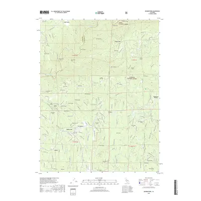
2018 Map of Georgetown
USGS Topo · Published 2018About this map
The Georgetown Divide defines this part of the Sierra Nevada foothills, where the Middle Fork American River carves deep canyons along the border of Placer and El Dorado Counties. The community of Georgetown sits centrally, surrounded by numerous historic hills and gulches such as Mameluke Hill and New Orleans Gulch, names that recall the region's gold-rush heritage. To the north, Volcanoville and Todd Valley mark established settlements near the edge of the Tahoe National Forest. The map documents a complex network of resource-management infrastructure, notably the Georgetown Divide Ditch and high-elevation reservoirs like Lake Walton. Evidence of the area's transition into a modern recreational and residential landscape is visible in the presence of the Western States Trl and the Georgetown Airport, contrasting with older naming conventions like Paymaster Mine Rd and Old Miners Rd.
Find a feature on this map
130 named features on this map. Tap any name to fly to it.
Don’t see what you’re looking for? This feature index may not catch every label — zoom into the map to look around manually.
Map Details
Editions of this 2018 Georgetown Map
This is the sole edition of this map. No revisions or reprints were ever made.
Other maps of this area

1891 · Colfax
USGS Topo · 1:125,000

1891 · Placerville
USGS Topo · 1:125,000

1892 · Placerville
USGS Topo · 1:125,000

1892 · Colfax
USGS Topo · 1:125,000

1893 · Placerville
USGS Topo · 1:125,000

1894 · Colfax
USGS Topo · 1:125,000

1898 · Colfax
USGS Topo · 1:125,000

1900 · Colfax
USGS Topo · 1:125,000

1902 · Colfax
USGS Topo · 1:125,000

1938 · Colfax
USGS Topo · 1:125,000