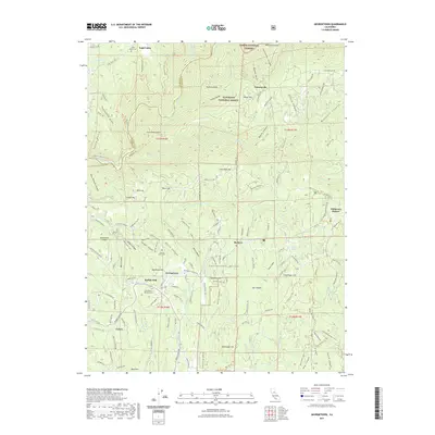
2021 Map of Georgetown
USGS Topo · Published 2021About this map
The Georgetown Divide defines this part of the Sierra Nevada foothills, a landscape marked by deep canyons and high points like Buffalo Hill and Little Bald Mtn. The historic community of Georgetown serves as a central hub, situated near the Georgetown Pioneer Cem and Georgetown Airport. To the north, the terrain drops sharply toward the Middle Fork American River, which separates the Eldorado National Forest from the Tahoe National Forest. The map reveals a high density of mining-era remnants and family-named landmarks, such as Jakeys Hill, Cock Robin Point, and Shoemaker Hill. Further north and west, settlements like Todd Valley and Volcanoville persist along the winding ridges, connected by roads like Todd Valley Rd and Georgetown Rd. This area reflects the transition from early gold rush extraction to modern timber management and rural residential life.
Find a feature on this map
132 named features on this map. Tap any name to fly to it.
Don’t see what you’re looking for? This feature index may not catch every label — zoom into the map to look around manually.
Map Details
Editions of this 2021 Georgetown Map
This is the sole edition of this map. No revisions or reprints were ever made.
Other maps of this area

1891 · Colfax
USGS Topo · 1:125,000

1891 · Placerville
USGS Topo · 1:125,000

1892 · Placerville
USGS Topo · 1:125,000

1892 · Colfax
USGS Topo · 1:125,000

1893 · Placerville
USGS Topo · 1:125,000

1894 · Colfax
USGS Topo · 1:125,000

1898 · Colfax
USGS Topo · 1:125,000

1900 · Colfax
USGS Topo · 1:125,000

1902 · Colfax
USGS Topo · 1:125,000

1938 · Colfax
USGS Topo · 1:125,000