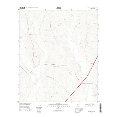
2014 Map of Georgiana West
USGS Topo · Published 2014About this map
The community of Starlington serves as a central hub in this part of Butler County, where Al-106 (also marked as W State Highway 106) traverses a landscape defined by the drainage basins of Panther Cr and Long Cr. Small, rural settlements like Providence and Beacon are connected by a network of winding local roads including Stinson Rd and Starlington Rd. Genealogists and local historians can find several established burial grounds in the area, such as Stamps Cem near Blue Round Rd and Mt Pisgah Cem to the northwest. The southern edge of the sheet captures the outskirts of Georgiana, featuring local landmarks like Wise Pond and the rail-adjacent Tram Rd. The terrain is moderately rolling, transitioning from creek bottoms to higher ground near Planted Rd.
Find a feature on this map
37 named features on this map. Tap any name to fly to it.
Don’t see what you’re looking for? This feature index may not catch every label — zoom into the map to look around manually.
Map Details
Editions of this 2014 Georgiana West Map
This is the sole edition of this map. No revisions or reprints were ever made.
Other maps of this area

1953 · Andalusia
USGS Topo · 1:250,000

1957 · Andalusia
USGS Topo · 1:250,000

1971 · Lyeffion
USGS Topo · 1:24,000

1971 · Greenville West
USGS Topo · 1:24,000

1971 · Mc Kenzie
USGS Topo · 1:24,000

1971 · Georgiana East
USGS Topo · 1:24,000

1971 · Garland
USGS Topo · 1:24,000

1971 · Bethel
USGS Topo · 1:24,000

1971 · Georgiana West
USGS Topo · 1:24,000

1981 · Forest Home
USGS Topo · 1:24,000