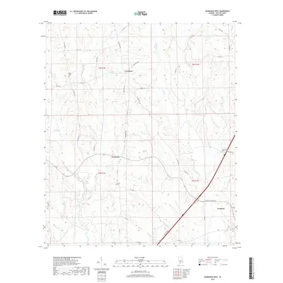
2018 Map of Georgiana West
USGS Topo · Published 2018About this map
Georgiana anchors the southeast corner of this Butler County landscape, where the convergence of modern transport and older rural pathways defines the local geography. The area is marked by a network of creeks, including Long Cr and Panther Cr, which drain the undulating terrain surrounding the settlements of Starlington and Providence. These small communities are connected by established local routes like Starlington Rd and Casey Rd, illustrating the persistence of historical settlement patterns into the twenty-first century.
Find a feature on this map
41 named features on this map. Tap any name to fly to it.
Don’t see what you’re looking for? This feature index may not catch every label — zoom into the map to look around manually.
Map Details
Editions of this 2018 Georgiana West Map
This is the sole edition of this map. No revisions or reprints were ever made.
Other maps of this area
1953 · Andalusia
USGS Topo · 1:250,000
1957 · Andalusia
USGS Topo · 1:250,000
1971 · Lyeffion
USGS Topo · 1:24,000
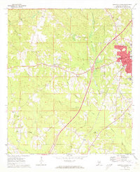
1971 · Greenville West
USGS Topo · 1:24,000
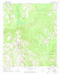
1971 · Mc Kenzie
USGS Topo · 1:24,000
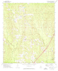
1971 · Georgiana East
USGS Topo · 1:24,000
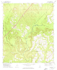
1971 · Garland
USGS Topo · 1:24,000
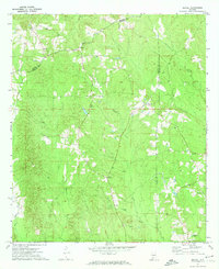
1971 · Bethel
USGS Topo · 1:24,000
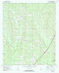
1971 · Georgiana West
USGS Topo · 1:24,000
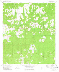
1981 · Forest Home
USGS Topo · 1:24,000