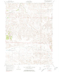
1953 Map of German Corner
USGS Topo · Published 1981About this map
The agricultural heart of Henry County is revealed through the detailed topography of the mid-20th century. Named after the settlement at German Corner, this region is defined by the winding course of the Edwards River and the rural townships of Munson, Cornwall, Cambridge, and Burns. The map documents a landscape densely populated by the institutions of rural life, featuring multiple country schools such as the Dahlin School and King School that served the surrounding farmsteads.
Find a feature on this map
17 named features on this map. Tap any name to fly to it.
Don’t see what you’re looking for? This feature index may not catch every label — zoom into the map to look around manually.
Map Details
Editions of this 1953 German Corner Map
2 editions found
Other maps of this area

1929 · Annawan
USGS Topo · 1:62,500

1931 · Galva
USGS Topo · 1:48,000

1932 · Annawan
USGS Topo · 1:62,500

1934 · Geneseo
USGS Topo · 1:62,500

1940 · Galva
USGS Topo · 1:62,500

1944 · Galva
USGS Topo · 1:62,500

1944 · Kewanee
USGS Topo · 1:62,500

1953 · Nekoma
USGS Topo · 1:24,000

1953 · German Corner
USGS Topo · 1:24,000
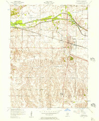
1953 · Geneseo
USGS Topo · 1:24,000