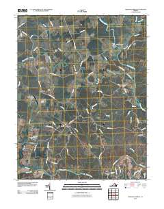
2010 Map of Germanna Bridge
USGS Topo · Published 2010About this map
Germanna Ford and Kellys Ford anchor this Virginia landscape, marking historic crossing points where the Rapidan River and Rappahannock River define the terrain. The map traces a network of rural routes such as Maddens Tavern Rd and Revercomb Rd that connect small settlements like Lignum and Lagrange. The proximity of Germanna Bridge to several established farms and landmarks, including the Lael Cemetery and Stones Mill, suggests a community deeply tied to its river-valley geography and agricultural roots. To the west, Hawkins Lake and its associated dam provide a contrast to the natural winding of the Mountain Run and Brook Run. Aviation and fire protection are noted through The Greenhouse Airport and the Culpeper Lookout Tower, illustrating the area's modern infrastructure within a traditionally pastoral setting.
Find a feature on this map
68 named features on this map. Tap any name to fly to it.
Don’t see what you’re looking for? This feature index may not catch every label — zoom into the map to look around manually.
Map Details
Editions of this 2010 Germanna Bridge Map
This is the sole edition of this map. No revisions or reprints were ever made.
Other maps of this area

1887 · Spottsylvania
USGS Topo · 1:125,000

1892 · Spottsylvania
USGS Topo · 1:125,000

1894 · Warrenton
USGS Topo · 1:125,000

1894 · Warrenton
USGS Topo · 1:62,500

1927 · Remington
USGS Topo · 1:48,000

1930 · Warrenton
USGS Topo · 1:62,500

1943 · Catlett
USGS Topo · 1:62,500

1943 · Germanna Bridge
USGS Topo · 1:24,000

1943 · Chancellorsville
USGS Topo · 1:24,000

1943 · Culpeper
USGS Topo · 1:24,000