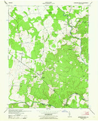
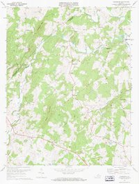
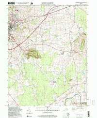
1943 Map of Germanna Bridge
USGS Topo · Published 1964About this map
The Rapidan River and Rappahannock River converge near the southern boundary of this 1943 survey, marking the historic intersection of Culpeper, Fauquier, and Orange counties. This wartime map reveals a landscape defined by small crossroads settlements and community landmarks, such as Jennings Store and Edwards Shop. The infrastructure reflects a rural society centered on local gatherings, evidenced by the distribution of Hopewell Church, Mount Holly Church, and Providence Church. Near the settlement of Lignum, the South Lignum School and surveying markers like USC&GS Lignum 1942 indicate the active civic and geological recording of the era. The southern passage is anchored by the Germanna Bridge, a critical crossing point over the Rapidan that has long influenced movement through this river-bound region.
Find a feature on this map
21 named features on this map. Tap any name to fly to it.
Don’t see what you’re looking for? This feature index may not catch every label — zoom into the map to look around manually.
Map Details
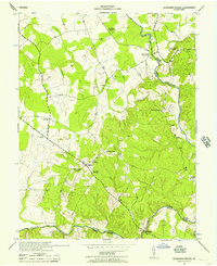
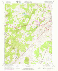
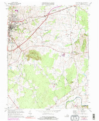
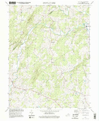
Editions of this 1943 Germanna Bridge Map
2 editions found
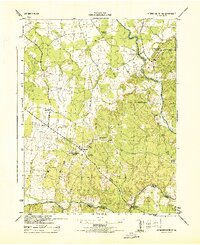
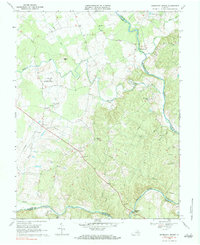
Historical Maps of Carrico Through Time
13 maps found
1943 Germanna Bridge
Culpeper County, VA
1944 Germanna Bridge
Culpeper County, VA
1968 Germanna Bridge
Culpeper County, VA
1971 Castleton
Culpeper County, VA
1971 Culpeper West
Culpeper County, VA
1973 Culpeper East
Culpeper County, VA
1994 Castleton
Culpeper County, VA
1994 Culpeper East
Culpeper County, VA
1997 Culpeper West
Culpeper County, VA
2022 Castleton
Culpeper County, VA
2022 Culpeper East
Culpeper County, VA
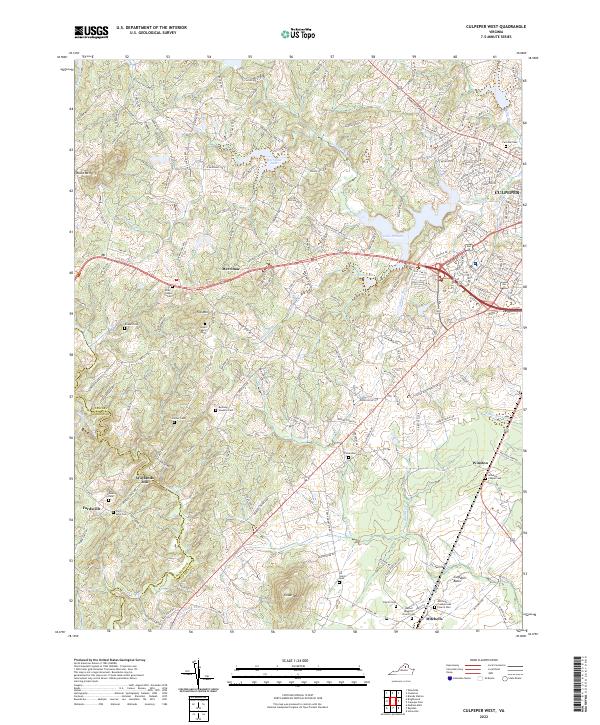
2022 Culpeper West
Culpeper County, VA
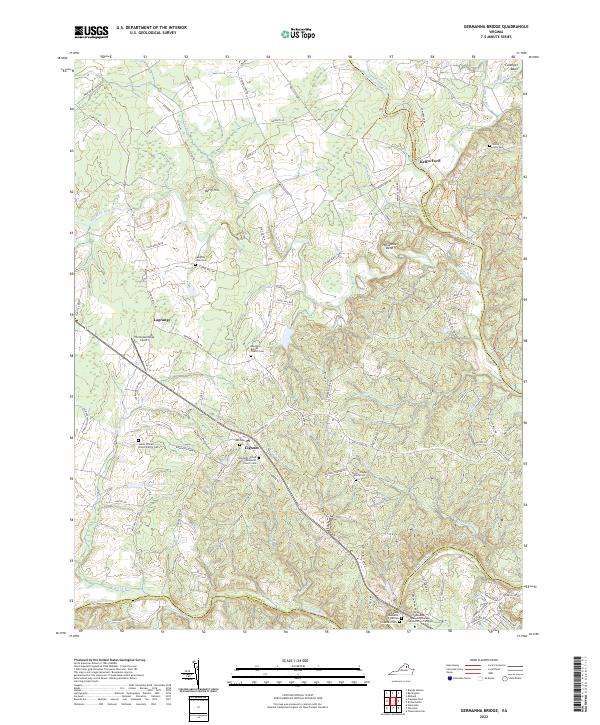
2022 Germanna Bridge
Culpeper County, VA