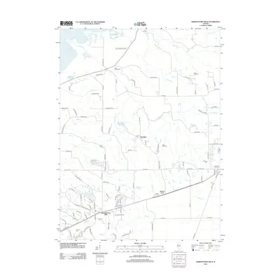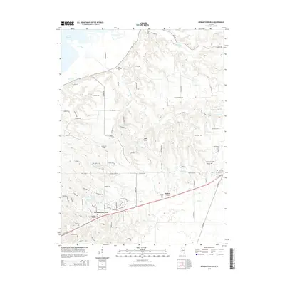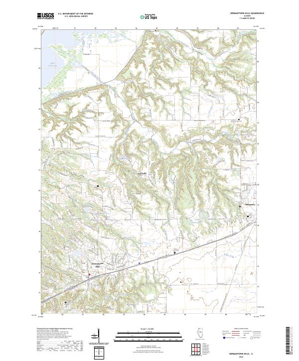
2024 Map of Germantown Hills
USGS Topo · Published 2024About this map
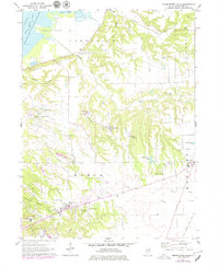
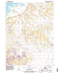
Upper Peoria Lake anchors the northwestern corner of this Woodford County landscape, where the Illinois River valley gives way to the intricate drainage networks of Partridge Creek and Coon Creek. The settlement of Germantown Hills serves as a modern residential hub, connected by a dense web of roads such as Caterpillar Trl and Old Germantown Rd. This terrain is defined by its numerous small valleys, including Burkett Hollow, which channel water toward the larger river basin.
Find a feature on this map
97 named features on this map. Tap any name to fly to it.
Don’t see what you’re looking for? This feature index may not catch every label — zoom into the map to look around manually.
Map Details
Editions of this 2024 Germantown Hills Map
This is the sole edition of this map. No revisions or reprints were ever made.
Historical Maps of Metamora Through Time
7 maps found