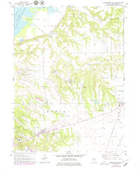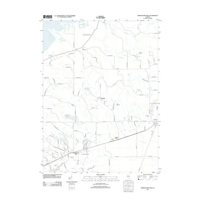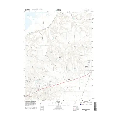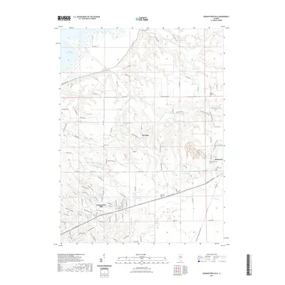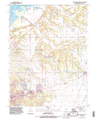
1995 Map of Germantown Hills
USGS Topo · Published 1996About this map
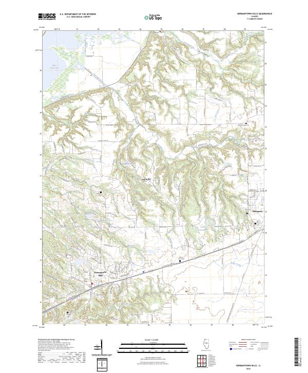
Germantown Hills serves as a central hub in this mid-1990s portrait of Woodford County, where suburban development meets the deeply etched ravines of the Illinois River valley. The map reveals a landscape defined by sharp elevation changes, particularly where Richland Creek, Coon Creek, and Partridge Creek carve through the bluffs. These natural corridors are dotted with local landmarks of faith and memory, such as Lourdes Ch and the Mennonite Heritage Center, reflecting the area's cultural foundations.
Find a feature on this map
51 named features on this map. Tap any name to fly to it.
Don’t see what you’re looking for? This feature index may not catch every label — zoom into the map to look around manually.
Map Details
Editions of this 1995 Germantown Hills Map
This is the sole edition of this map. No revisions or reprints were ever made.
Historical Maps of Metamora Through Time
7 maps found