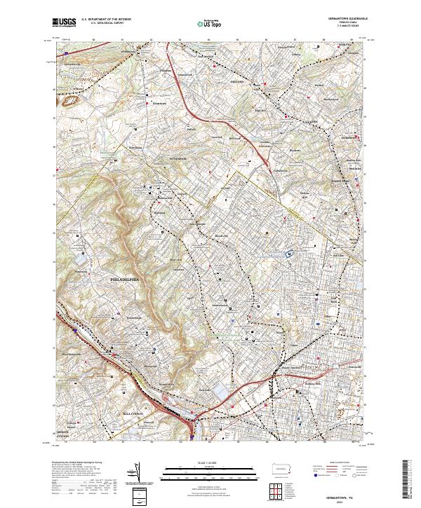
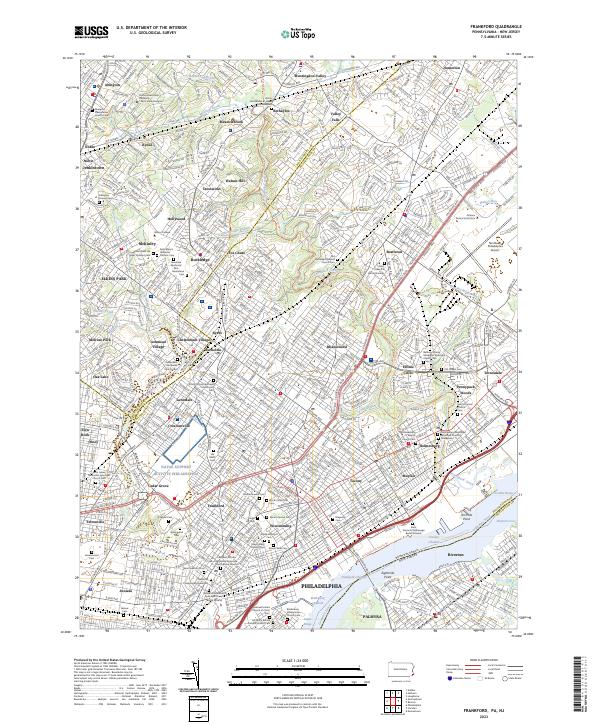
2023 Map of Germantown
USGS Topo · Published 2023About this map
The Schuylkill River and the winding course of Wissahickon Creek define the geography of this densely settled landscape where northwest Philadelphia meets the suburbs of Montgomery County. This contemporary study captures a remarkable concentration of early American heritage, particularly through its numerous burial grounds and religious sites. From the Germantown Mennonite Cem to the Philadelphia National Cemetery, the map serves as a detailed directory for genealogists. The interface between urban neighborhoods like Mount Airy and the wooded corridors of Cresheim Creek highlights the persistence of open space within the metropolitan grid. Educational institutions such as Arcadia University and the United Lutheran Seminary - Philadelphia Campus anchor historical centers of learning, while the complex SEPTA rail network illustrates the enduring transit-oriented development of the Germantown and Chestnut Hill corridors.
Find a feature on this map
157 named features on this map. Tap any name to fly to it.
Don’t see what you’re looking for? This feature index may not catch every label — zoom into the map to look around manually.
Map Details
Editions of this 2023 Germantown Map
This is the sole edition of this map. No revisions or reprints were ever made.
Historical Maps of Academyville Through Time
8 maps found
1950 Frankford
Philadelphia County, PA
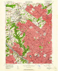
1952 Germantown
Philadelphia County, PA
1967 Frankford
Philadelphia County, PA
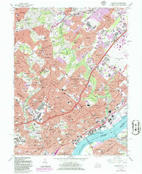
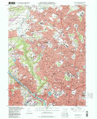
1967 Germantown
Philadelphia County, PA
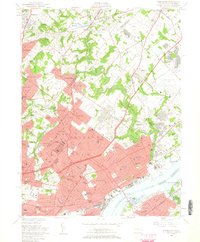
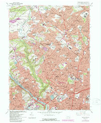
1997 Frankford
Philadelphia County, PA
1997 Germantown
Philadelphia County, PA
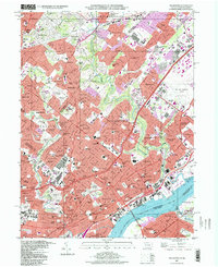
2023 Frankford
Philadelphia County, PA
2023 Germantown
Philadelphia County, PA
Featured Locations
- Philadelphia, PA
- Abington Township, PA
- Whitemarsh Township, PA
- Cheltenham Township, PA
- Glenside, Cheltenham Township