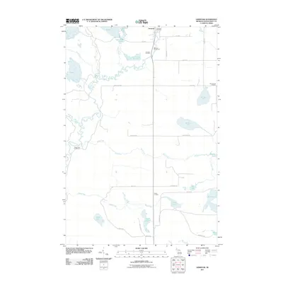
2011 Map of Germfask
USGS Topo · Published 2011About this map
The Manistique River winds through this central Schoolcraft County landscape, defining a network of wetlands and drainage basins. The settlement of Germfask serves as the local hub, anchored by the Germfask Post Office and several historic burial grounds including the Old Germfask Cemetery and Germfask Cemetery. The complex hydrology of the region is evident in the numerous specialized water bodies like the Upper Goose Pen Pool, Lower Goose Pen Pool, and A Pool, which suggest a managed water system or wildlife refuge environment. To the south, the landscape transitions into a scatter of larger basins such as Ford Lake and Mezik Lake. Recreational sites like Big Cedar Campground and Mead Creek Campground illustrate the area's modern role in timberland and river-based tourism.
Find a feature on this map
46 named features on this map. Tap any name to fly to it.
Don’t see what you’re looking for? This feature index may not catch every label — zoom into the map to look around manually.
Map Details
Editions of this 2011 Germfask Map
This is the sole edition of this map. No revisions or reprints were ever made.
Other maps of this area

1931 · Seney SW
USGS Topo · 1:31,680

1931 · Manistique River NE
USGS Topo · 1:31,680

1931 · Manistique River SE
USGS Topo · 1:31,680

1931 · Blaney SW
USGS Topo · 1:31,680

1931 · Seney SE
USGS Topo · 1:31,680

1931 · Blaney NE
USGS Topo · 1:31,680

1931 · Blaney SE
USGS Topo · 1:31,680

1931 · Blaney NW
USGS Topo · 1:31,680

1931 · Driggs Lake SE
USGS Topo · 1:31,680

1954 · Sault Sainte Marie
USGS Topo · 1:250,000