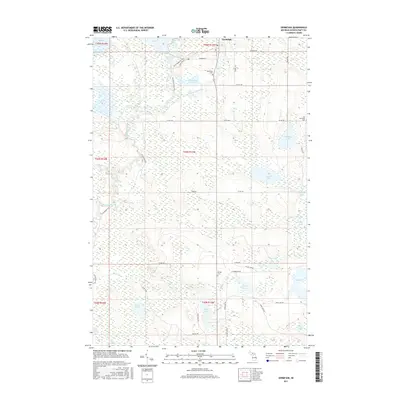
2017 Map of Germfask
USGS Topo · Published 2017About this map
Germfask sits at the junction of the Manistique River and the Driggs River, serving as a gateway to the complex hydrology of the Upper Peninsula. This landscape is defined by its extensive wetlands and managed water pools, including the Upper Goose Pen Pool and Lower Goose Pen Pool, which reflect a history of waterfowl habitat conservation and river management. The township structure is punctuated by evidence of early settlement and recreation, from the Skunk Ridge Ski Trail to the Smith Farm.
Find a feature on this map
56 named features on this map. Tap any name to fly to it.
Don’t see what you’re looking for? This feature index may not catch every label — zoom into the map to look around manually.
Map Details
Editions of this 2017 Germfask Map
This is the sole edition of this map. No revisions or reprints were ever made.
Other maps of this area
1931 · Seney SW
USGS Topo · 1:31,680
1931 · Manistique River NE
USGS Topo · 1:31,680
1931 · Manistique River SE
USGS Topo · 1:31,680
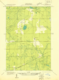
1931 · Blaney SW
USGS Topo · 1:31,680
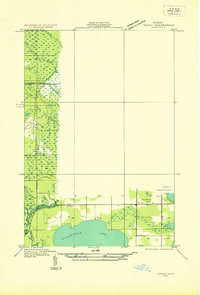
1931 · Seney SE
USGS Topo · 1:31,680
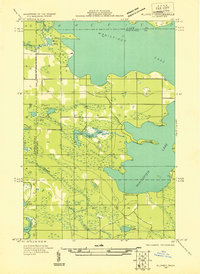
1931 · Blaney NE
USGS Topo · 1:31,680
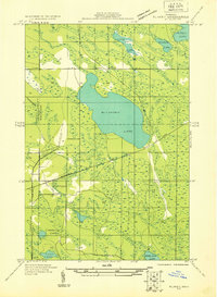
1931 · Blaney SE
USGS Topo · 1:31,680
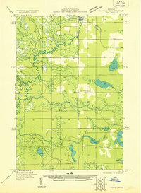
1931 · Blaney NW
USGS Topo · 1:31,680
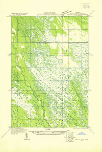
1931 · Driggs Lake SE
USGS Topo · 1:31,680
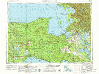
1954 · Sault Sainte Marie
USGS Topo · 1:250,000