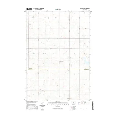
2015 Map of Gertson Slough
USGS Topo · Published 2015About this map
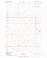
Coteau des Prairies, a vast highland plateau, defines the topography of this rural South Dakota landscape. The terrain is marked by the subtle drainage of Dolph Cr and the waters of Gertson Slough, which lie in the eastern portion of the survey area. Human settlement in this part of the Great Plains is reflected in the organized grid of section roads and the preservation of several community burial grounds that serve local townships. Researchers will find the Scandinavian Cem in the northwest, the centrally located Garfield Cem, and Saint Peters Cem near the southern boundary. The map captures the agricultural layout of the region as it transitions across the Hamlin Co Kingsbury Co border, illustrating the persistent rural character of these Midwestern prairies in the early twenty-first century.
Find a feature on this map
17 named features on this map. Tap any name to fly to it.
Don’t see what you’re looking for? This feature index may not catch every label — zoom into the map to look around manually.
Map Details
Editions of this 2015 Gertson Slough Map
This is the sole edition of this map. No revisions or reprints were ever made.
Other maps of this area

1953 · Watertown
USGS Topo · 1:250,000

1958 · Watertown
USGS Topo · 1:250,000
1968 · Lake Preston NE
USGS Topo · 1:24,000
1968 · Erwin
USGS Topo · 1:24,000
1968 · Badger
USGS Topo · 1:24,000
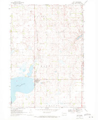
1969 · Hayti
USGS Topo · 1:24,000
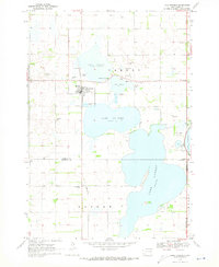
1969 · Lake Norden
USGS Topo · 1:24,000
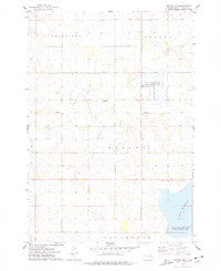
1973 · Bryant NE
USGS Topo · 1:24,000
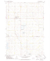
1973 · Bryant
USGS Topo · 1:24,000
1973 · Gertson Slough
USGS Topo · 1:24,000