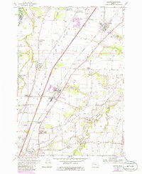
1957 Map of Gervais
USGS Topo · Published 1985About this map
Gervais and the surrounding Willamette Valley landscape are defined here by a dense grid of agricultural infrastructure and early transit corridors. The Southern Pacific and Burlington Northern railroads anchor the settlements of Brooks, Waconda, and Quinaby, while the Pacific Highway East and Baldock Freeway facilitate movement through the heart of Marion County. A notable concentration of historic institutions is evident, from the U S Indian School at Chemawa in the south to the Sacred Heart Sch in the north.
Find a feature on this map
51 named features on this map. Tap any name to fly to it.
Don’t see what you’re looking for? This feature index may not catch every label — zoom into the map to look around manually.
Map Details
Editions of this 1957 Gervais Map
3 editions found
Other maps of this area

1915 · Eola
USGS Topo · 1:31,680

1917 · Salem
USGS Topo · 1:62,500

1923 · Mount Angel
USGS Topo · 1:62,500

1924 · Mc Minnville
USGS Topo · 1:48,000

1925 · Stayton
USGS Topo · 1:62,500

1926 · Mc Minnville
USGS Topo · 1:62,500

1940 · McMinnville
USGS Topo · 1:62,500

1940 · Salem
USGS Topo · 1:62,500

1940 · Mount Angel
USGS Topo · 1:62,500

1941 · Stayton
USGS Topo · 1:62,500