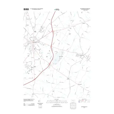
2013 Map of Gettysburg
USGS Topo · Published 2013About this map
Gettysburg and its surrounding ridge lines and valley floors are documented here in a modern geospatial context, showing the enduring geography of the South Central Pennsylvania landscape. The map provides a precise layout of the town's street grid and the immediate rural outskirts, including the varied terrain of Seminary Ridge, Oak Ridge, and Barlow Knoll. Much of the area south of town is defined by its preserved open spaces and water features like Rock Cr and Plum Run, which continue to dictate the local hydrology and land-use patterns.
Find a feature on this map
206 named features on this map. Tap any name to fly to it.
Don’t see what you’re looking for? This feature index may not catch every label — zoom into the map to look around manually.
Map Details
Editions of this 2013 Gettysburg Map
This is the sole edition of this map. No revisions or reprints were ever made.
Other maps of this area
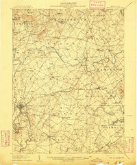
1908 · Gettysburg
USGS Topo · 1:62,500
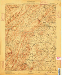
1909 · Fairfield
USGS Topo · 1:62,500

1911 · Taneytown
USGS Topo · 1:62,500
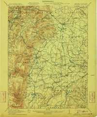
1911 · Emmitsburg
USGS Topo · 1:62,500

1942 · Gettysburg
USGS Topo · 1:125,000
1943 · Emmitsburg
USGS Topo · 1:62,500
1944 · Gettysburg
USGS Topo · 1:31,680
1944 · Mc Sherrystown
USGS Topo · 1:31,680
1944 · Littlestown
USGS Topo · 1:31,680
1944 · Arendtsville
USGS Topo · 1:31,680
Featured Places
- Gettysburg, PA
- Bonneauville, PA
- Mount Joy Township, PA
- Germany Township, PA
- Sedgwick, Cumberland Township