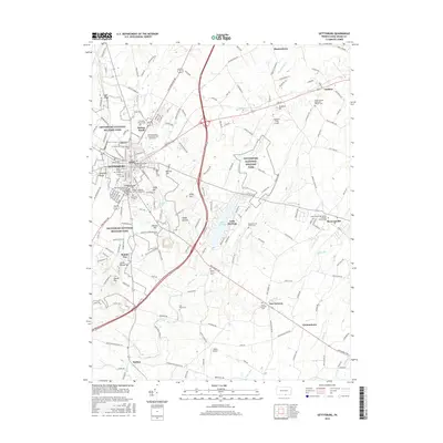
2016 Map of Gettysburg
USGS Topo · Published 2016About this map
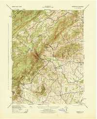
Gettysburg National Military Park dominates this modern landscape, preserving the hallowed ground where the 1863 Battle of Gettysburg turned the tide of the American Civil War. The borough of Gettysburg is surrounded by the iconic high ground of Cemetery Hill, Seminary Ridge, and Little Round Top, features that remain central to the town's identity and preservation efforts. Beyond the monument-studded fields, the map reveals the growth of residential and educational centers like Gettysburg Coll and the sprawling Lake Heritage development to the southeast.
Find a feature on this map
187 named features on this map. Tap any name to fly to it.
Don’t see what you’re looking for? This feature index may not catch every label — zoom into the map to look around manually.
Map Details
Editions of this 2016 Gettysburg Map
This is the sole edition of this map. No revisions or reprints were ever made.
Other maps of this area
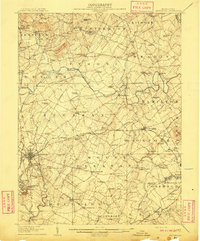
1908 · Gettysburg
USGS Topo · 1:62,500
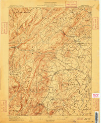
1909 · Fairfield
USGS Topo · 1:62,500

1911 · Taneytown
USGS Topo · 1:62,500
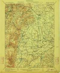
1911 · Emmitsburg
USGS Topo · 1:62,500

1942 · Gettysburg
USGS Topo · 1:125,000
1943 · Emmitsburg
USGS Topo · 1:62,500
1944 · Gettysburg
USGS Topo · 1:31,680
1944 · Mc Sherrystown
USGS Topo · 1:31,680
1944 · Littlestown
USGS Topo · 1:31,680
1944 · Arendtsville
USGS Topo · 1:31,680
Featured Places
- Gettysburg, PA
- Bonneauville, PA
- Mount Joy Township, PA
- Germany Township, PA
- Sedgwick, Cumberland Township