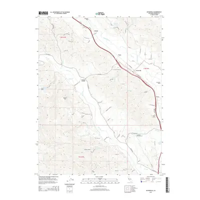
2015 Map of Geyserville
USGS Topo · Published 2015About this map
Geyserville and the surrounding Alexander Valley vineyards anchor this Sonoma County survey, following the corridor where the Russian River and the Northwestern Pacific RR run parallel. The landscape is a mix of alluvial plains and rising peaks like Bradford Mtn, with many smaller communities such as Chianti, Omus, and Nervo linked by historical routes like Asti Rd and Geyserville Ave. Local heritage is preserved in sites like the Olive Hill Cemetery and the Long Ranch Family Cemetery, while the presence of the Healdsburg Municipal Airport at the southern edge marks a shift toward modern infrastructure.
Find a feature on this map
81 named features on this map. Tap any name to fly to it.
Don’t see what you’re looking for? This feature index may not catch every label — zoom into the map to look around manually.
Map Details
Editions of this 2015 Geyserville Map
This is the sole edition of this map. No revisions or reprints were ever made.
Other maps of this area

1920 · Healdsburg
USGS Topo · 1:62,500

1921 · Skaggs
USGS Topo · 1:62,500

1921 · Kelseyville
USGS Topo · 1:62,500

1933 · Healdsburg
USGS Topo · 1:48,000

1938 · Hopland
USGS Topo · 1:62,500

1940 · Healdsburg
USGS Topo · 1:62,500

1943 · Cazadero
USGS Topo · 1:24,000

1943 · Skaggs Springs
USGS Topo · 1:24,000

1943 · Kelseyville
USGS Topo · 1:62,500

1943 · Hopland
USGS Topo · 1:62,500