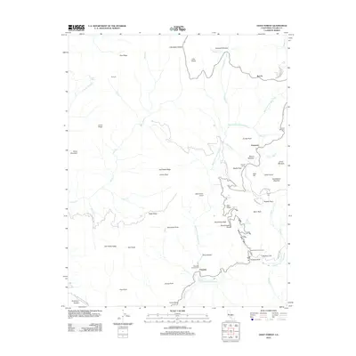
2012 Map of Giant Forest
USGS Topo · Published 2012About this map
Sequoia National Park’s interior reaches are defined by a high-elevation landscape of granite monoliths and ancient groves. The map centers on the famed Giant Forest, where the General Sherman Tree stands among other named meadows like Round Meadow and Huckleberry Meadow. This area shows the concentrated infrastructure of early 21st-century park management, including Pinewood, Kaweah Camp, and the winding Crescent Meadow Rd. To the south, the terrain drops steeply toward the Kaweah River, where Potwisha and Buckeye Flat offer lower-elevation transit points.
Find a feature on this map
67 named features on this map. Tap any name to fly to it.
Don’t see what you’re looking for? This feature index may not catch every label — zoom into the map to look around manually.
Map Details
Editions of this 2012 Giant Forest Map
This is the sole edition of this map. No revisions or reprints were ever made.
Other maps of this area

1903 · Tehipite
USGS Topo · 1:125,000

1904 · Kaweah
USGS Topo · 1:125,000

1905 · Tehipite
USGS Topo · 1:125,000

1909 · Kaweah
USGS Topo · 1:125,000

1937 · Kaweah
USGS Topo · 1:125,000

1948 · Fresno
USGS Topo · 1:250,000

1955 · Fresno
USGS Topo · 1:250,000

1956 · Fresno
USGS Topo · 1:250,000

1956 · Giant Forest
USGS Topo · 1:62,500

1956 · Mineral King
USGS Topo · 1:62,500