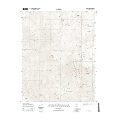
2015 Map of Giant Forest
USGS Topo · Published 2015About this map
Sequoia National Park encompasses this high-altitude landscape where the Marble Fork Kaweah River and Middle Fork Kaweah River carve through the Sierra Nevada. The map details a network of developed sites and natural landmarks central to early park history, including the ancient landmark of Hospital Rock and the iconic Moro Rock. These sites, along with the settlement at Potwisha, illustrate the long-standing human interaction with this granite-dominated terrain. High meadows such as Huckleberry Meadow and Round Meadow are interspersed among significant peaks like Colony Peak and Little Baldy. Historical routes and points of interest, such as Tunnel Rock and Sunset Rock, highlight the evolution of park access and visitor experience in the mid-2010s.
Find a feature on this map
61 named features on this map. Tap any name to fly to it.
Don’t see what you’re looking for? This feature index may not catch every label — zoom into the map to look around manually.
Map Details
Editions of this 2015 Giant Forest Map
This is the sole edition of this map. No revisions or reprints were ever made.
Other maps of this area
1903 · Tehipite
USGS Topo · 1:125,000
1904 · Kaweah
USGS Topo · 1:125,000
1905 · Tehipite
USGS Topo · 1:125,000
1909 · Kaweah
USGS Topo · 1:125,000
1937 · Kaweah
USGS Topo · 1:125,000

1948 · Fresno
USGS Topo · 1:250,000
1955 · Fresno
USGS Topo · 1:250,000
1956 · Fresno
USGS Topo · 1:250,000
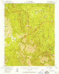
1956 · Giant Forest
USGS Topo · 1:62,500
1956 · Mineral King
USGS Topo · 1:62,500