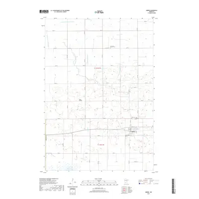
2019 Map of Gibbon
USGS Topo · Published 2019About this map
Gibbon serves as the central hub of this agricultural landscape in Sibley Co, where a complex network of drainage systems defines the modern prairie. The map details an engineered hydrology where County Ditch Number Thirtyone and several other numbered ditches direct water across the township, contrasting with the natural remnants of Swan Lake and the Alkali Lakebed. For family historians, the area is notable for its numerous burial grounds, including Saint Peter's Evangelical Cem and Saint Willibrord Cem, which sit alongside the town's larger Gibbon Cem. The landscape is etched with a precise grid of rural roads like Co Hwy 22 and 250th St, reflecting the persistent importance of farm-to-market access in this section of Minnesota.
Find a feature on this map
42 named features on this map. Tap any name to fly to it.
Don’t see what you’re looking for? This feature index may not catch every label — zoom into the map to look around manually.
Map Details
Editions of this 2019 Gibbon Map
This is the sole edition of this map. No revisions or reprints were ever made.
Other maps of this area
1953 · New Ulm
USGS Topo · 1:250,000
1957 · New Ulm
USGS Topo · 1:250,000
1958 · New Ulm
USGS Topo · 1:250,000
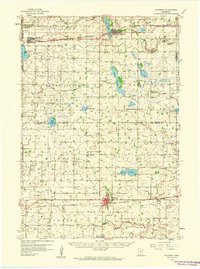
1958 · Winthrop
USGS Topo · 1:62,500
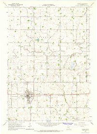
1964 · Fairfax
USGS Topo · 1:24,000
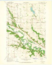
1964 · Sleepy Eye NW
USGS Topo · 1:24,000
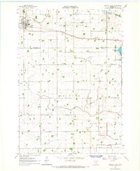
1964 · Buffalo Lake
USGS Topo · 1:24,000
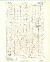
1964 · Lafayette
USGS Topo · 1:24,000
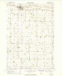
1964 · Hector
USGS Topo · 1:24,000
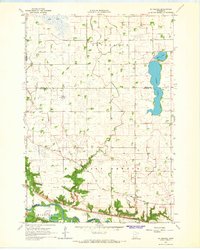
1964 · St George
USGS Topo · 1:24,000