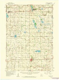
1958 Map of Winthrop
USGS Topo · Published 1959About this map
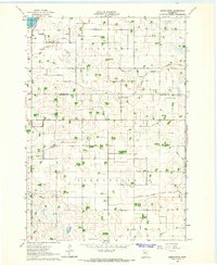
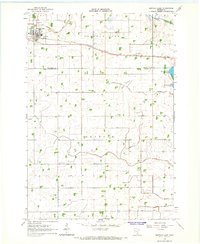
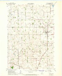
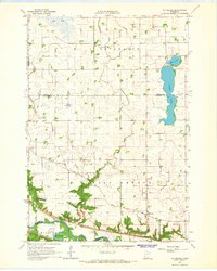
Winthrop serves as a primary rail hub in this late 1950s survey, situated at the junction of the Minneapolis and St Louis railroad lines. The landscape is defined by the agricultural expansion of Sibley and McLeod counties, organized into townships like Bismarck, Transit, and Round Grove. The northern portion of the quadrangle is traversed by the Chicago Milwaukee St Paul and Pacific railroad, connecting the settlements of Stewart and Brownton.
Find a feature on this map
46 named features on this map. Tap any name to fly to it.
Don’t see what you’re looking for? This feature index may not catch every label — zoom into the map to look around manually.
Map Details
Editions of this 1958 Winthrop Map
This is the sole edition of this map. No revisions or reprints were ever made.
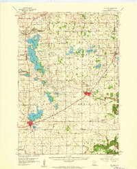
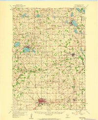
Other maps of this area

1953 · New Ulm
USGS Topo · 1:250,000

1957 · New Ulm
USGS Topo · 1:250,000

1958 · New Ulm
USGS Topo · 1:250,000
1958 · Gaylord
USGS Topo · 1:62,500
1958 · Glencoe
USGS Topo · 1:62,500
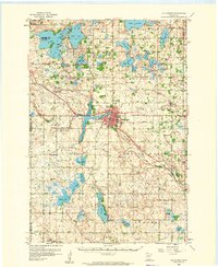
1958 · Hutchinson
USGS Topo · 1:62,500
1964 · Bernadotte
USGS Topo · 1:24,000
1964 · Buffalo Lake
USGS Topo · 1:24,000
1964 · Lafayette
USGS Topo · 1:24,000
1964 · St George
USGS Topo · 1:24,000