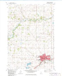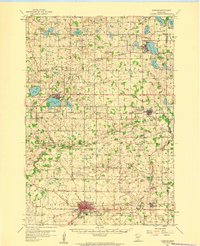
1958 Map of Glencoe
USGS Topo · Published 1959About this map
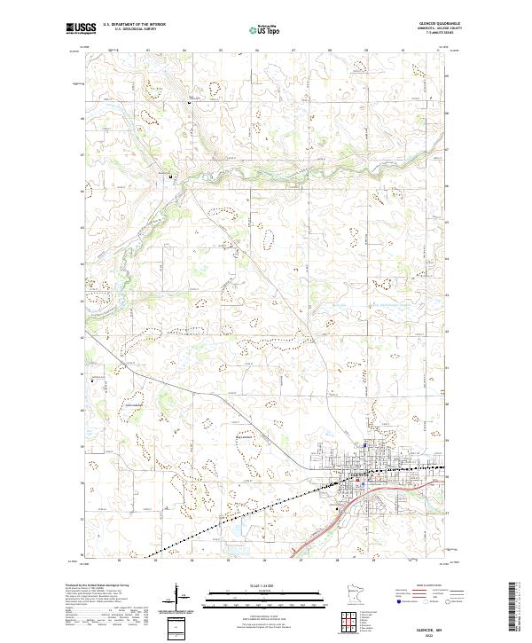
Glencoe and the surrounding prairie of McLeod Co are defined by a complex web of glacial lakes and mid-century rail infrastructure. Three major railroads, including the Chicago Milwaukee St Paul and Pacific and the Great Northern, intersect the landscape, connecting rural hubs like Lester Prairie and Plato to the larger regional economy. The rural character of the late 1950s is evident in the dense distribution of numbered country schools, such as School No 1014 and School No 1011, alongside denominational centers like Frieden Ch and Swedish Ch. Water bodies like Shakopee Lake and Winsted Lake dominate the northern townships of Stockholm and Victor, where the terrain transitions from agricultural fields to wetland clusters. Local history and genealogy are preserved through markers for the Bohemian Cem and Koniska Cem, reflecting the diverse settlement patterns of the central Minnesota plains.
Find a feature on this map
76 named features on this map. Tap any name to fly to it.
Don’t see what you’re looking for? This feature index may not catch every label — zoom into the map to look around manually.
Map Details
Editions of this 1958 Glencoe Map
This is the sole edition of this map. No revisions or reprints were ever made.
Historical Maps of Glencoe Through Time
8 maps found