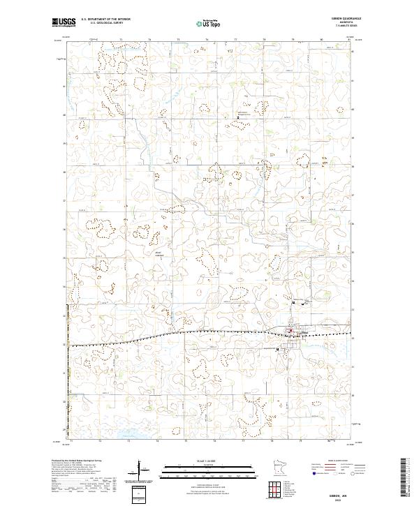
2022 Map of Gibbon
USGS Topo · Published 2022About this map
Gibbon serves as the primary hub in this agricultural landscape of Sibley Co, characterized by a strictly organized grid of county roads and a sophisticated network of drainage infrastructure. The reliance on water management is evident in the numerous numbered channels, including County Ditch Number Thirtyone and Judicial Ditch Number Eight, which have historically modified the prairie to support farming. To the south, the terrain transitions toward the shoreline of Swan Lake, while the interior features the dry expanse of the Alkali Lakebed. Genealogists will find several burial sites surrounding the town center, such as Saint Willibrord Cem and Gibbon Cem, alongside rural locations like Saint Peter's Evangelical Cem and Augustana Cem. These landmarks, paired with the winding path of the Middle Br Rush River, offer a detailed view of the regional settlement patterns and land use.
Find a feature on this map
43 named features on this map. Tap any name to fly to it.
Don’t see what you’re looking for? This feature index may not catch every label — zoom into the map to look around manually.
Map Details
Editions of this 2022 Gibbon Map
This is the sole edition of this map. No revisions or reprints were ever made.
Other maps of this area

1953 · New Ulm
USGS Topo · 1:250,000

1957 · New Ulm
USGS Topo · 1:250,000

1958 · New Ulm
USGS Topo · 1:250,000

1958 · Winthrop
USGS Topo · 1:62,500

1964 · Fairfax
USGS Topo · 1:24,000

1964 · Sleepy Eye NW
USGS Topo · 1:24,000

1964 · Buffalo Lake
USGS Topo · 1:24,000

1964 · Lafayette
USGS Topo · 1:24,000

1964 · Hector
USGS Topo · 1:24,000

1964 · St George
USGS Topo · 1:24,000