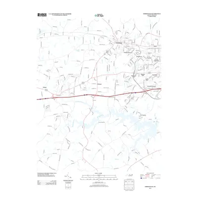
2013 Map of Gibsonville
USGS Topo · Published 2013About this map
Gibsonville and Elon anchor this 2013 survey of the Piedmont corridor, showing the suburban expansion between the Greensboro and Burlington areas. The map details a transition from dense town grids to modern residential developments like Westbrook Forest, Country Club Acres, and Westview Terrace. The landscape is defined by the branching waterways of Little Alamance Cr and Big Alamance Cr, which wind through the southern half of the quadrangle toward The Country.
Find a feature on this map
263 named features on this map. Tap any name to fly to it.
Don’t see what you’re looking for? This feature index may not catch every label — zoom into the map to look around manually.
Map Details
Editions of this 2013 Gibsonville Map
This is the sole edition of this map. No revisions or reprints were ever made.
Other maps of this area

1951 · Browns Summit
USGS Topo · 1:24,000

1952 · Mc Leansville
USGS Topo · 1:24,000

1953 · Raleigh
USGS Topo · 1:250,000

1953 · Greensboro
USGS Topo · 1:250,000

1954 · Greensboro
USGS Topo · 1:250,000

1954 · Raleigh
USGS Topo · 1:250,000

1962 · Greensboro
USGS Topo · 1:250,000

1966 · Greensboro
USGS Topo · 1:250,000

1969 · Burlington
USGS Topo · 1:24,000

1969 · Lake Burlington
USGS Topo · 1:24,000