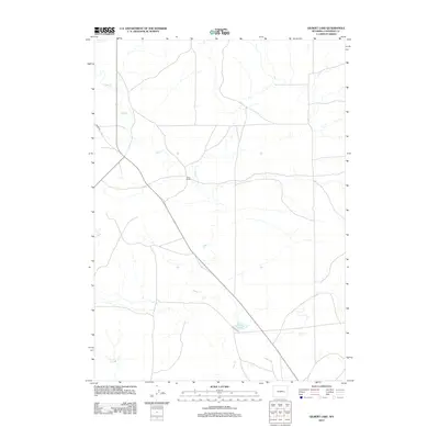
2012 Map of Gilbert Lake
USGS Topo · Published 2012About this map
The ranching landscape of northern Converse County is defined by the winding course of Sage Cr, which meanders across this high plains terrain. In 2012, the area remained characterized by large-scale landholdings and widely spaced infrastructure, centered on sites like Smith Ranch. The network of roads, including the prominent Ross Rd, follows the natural contours of the drainage basin, illustrating how water sources and topography continue to dictate the layout of transportation and settlement in this part of Wyoming. This survey provides a precise look at the contemporary boundaries and hydrology of the region as it existed in the early twenty-first century.
Find a feature on this map
3 named features on this map. Tap any name to fly to it.
Don’t see what you’re looking for? This feature index may not catch every label — zoom into the map to look around manually.
Map Details
Editions of this 2012 Gilbert Lake Map
This is the sole edition of this map. No revisions or reprints were ever made.
Other maps of this area

1949 · Sundquist Ranch
USGS Topo · 1:24,000

1949 · Orpha
USGS Topo · 1:24,000

1949 · Careyhurst
USGS Topo · 1:24,000

1949 · Gilbert Lake
USGS Topo · 1:24,000

1949 · Douglas
USGS Topo · 1:24,000

1949 · Leuenberger Ranch
USGS Topo · 1:24,000

1950 · Careyhurst
USGS Topo · 1:24,000

1950 · Gilbert Lake
USGS Topo · 1:24,000

1950 · Leuenberger Ranch
USGS Topo · 1:24,000

1950 · Douglas
USGS Topo · 1:24,000