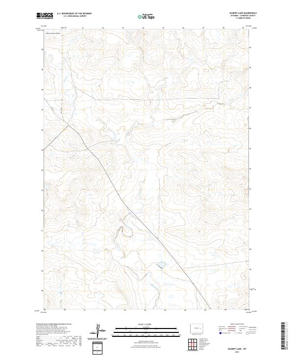
2021 Map of Gilbert Lake
USGS Topo · Published 2021About this map
Sage Creek meanders through the heart of this high plains landscape in Converse County, reflecting the sparse, drainage-oriented settlement patterns of eastern Wyoming. This modern survey illustrates the persistent importance of water routes in an arid environment, with Sage Cr serving as the primary geographic anchor for the region. The map captures the geometric precision of the Public Land Survey System, including boundaries for t35n r73w and t34n r72w. Local infrastructure is defined by the diagonal transit of State Hwy 93, which provides the main artery for ranch access alongside secondary routes like Co Rd 311. The terrain is further characterized by distinct erosional features such as School Section Draw, showing how the land has been shaped over time by intermittent water flow across the township and range grid.
Find a feature on this map
9 named features on this map. Tap any name to fly to it.
Don’t see what you’re looking for? This feature index may not catch every label — zoom into the map to look around manually.
Map Details
Editions of this 2021 Gilbert Lake Map
This is the sole edition of this map. No revisions or reprints were ever made.
Other maps of this area

1949 · Sundquist Ranch
USGS Topo · 1:24,000

1949 · Orpha
USGS Topo · 1:24,000

1949 · Careyhurst
USGS Topo · 1:24,000

1949 · Gilbert Lake
USGS Topo · 1:24,000

1949 · Douglas
USGS Topo · 1:24,000

1949 · Leuenberger Ranch
USGS Topo · 1:24,000

1950 · Careyhurst
USGS Topo · 1:24,000

1950 · Gilbert Lake
USGS Topo · 1:24,000

1950 · Leuenberger Ranch
USGS Topo · 1:24,000

1950 · Douglas
USGS Topo · 1:24,000