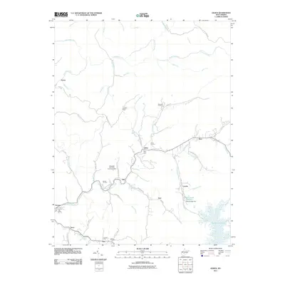
2011 Map of Gilboa
USGS Topo · Published 2011About this map
Gilboa and its neighboring hamlets sit within a landscape defined by the intricate tributaries of Peters Creek, as shown in this 2011 documentation. The area exhibits a pattern of small settlements and post offices, including Drennen and Poe, linked by a network of winding roads like Keenan Br Rd. Cultural landmarks such as the Lone Star Lookout Tower and Dillys Mill Boy Scout Camp Lake Dam point to the varied land use of the region, from forest management to youth recreation. In the southeast, the shoreline of Summersville Lake and the Peerless Eagle Dam at the Water Supply Reservoir illustrate the management of water resources. Genealogists will find several family-named burial grounds throughout the terrain, such as McClung Cemetery and Duling Cemetery, which offer valuable clues for tracing local family lines.
Find a feature on this map
58 named features on this map. Tap any name to fly to it.
Don’t see what you’re looking for? This feature index may not catch every label — zoom into the map to look around manually.
Map Details
Editions of this 2011 Gilboa Map
This is the sole edition of this map. No revisions or reprints were ever made.
Other maps of this area

1889 · Nicholas
USGS Topo · 1:125,000

1891 · Nicholas
USGS Topo · 1:125,000

1897 · Kanawha Falls
USGS Topo · 1:125,000

1900 · Kanawha Falls
USGS Topo · 1:125,000

1901 · Nicholas
USGS Topo · 1:125,000

1901 · Kanawha Falls
USGS Topo · 1:125,000

1908 · Clay
USGS Topo · 1:48,000

1908 · Fayetteville
USGS Topo · 1:48,000

1910 · Clay
USGS Topo · 1:62,500

1910 · Fayetteville
USGS Topo · 1:62,500