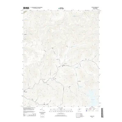
2014 Map of Gilboa
USGS Topo · Published 2014About this map
Peters Creek carves a central path through this Nicholas County landscape, anchoring a series of small rural communities that define the region. The settlement of Gilboa sits at a strategic bend along WV-39, while other clusters of residence and history appear at Zela, Enon, and Drennen. The geography is characterized by a dense network of high ridges and narrow creek bottoms, where family and community landmarks like Keenan Cem, Duling Cem, and McCutchin Cem are tucked into the hillsides.
Find a feature on this map
67 named features on this map. Tap any name to fly to it.
Don’t see what you’re looking for? This feature index may not catch every label — zoom into the map to look around manually.
Map Details
Editions of this 2014 Gilboa Map
This is the sole edition of this map. No revisions or reprints were ever made.
Other maps of this area

1889 · Nicholas
USGS Topo · 1:125,000

1891 · Nicholas
USGS Topo · 1:125,000

1897 · Kanawha Falls
USGS Topo · 1:125,000

1900 · Kanawha Falls
USGS Topo · 1:125,000

1901 · Nicholas
USGS Topo · 1:125,000

1901 · Kanawha Falls
USGS Topo · 1:125,000

1908 · Clay
USGS Topo · 1:48,000

1908 · Fayetteville
USGS Topo · 1:48,000

1910 · Clay
USGS Topo · 1:62,500

1910 · Fayetteville
USGS Topo · 1:62,500