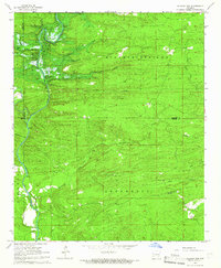
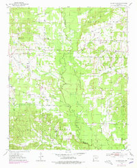
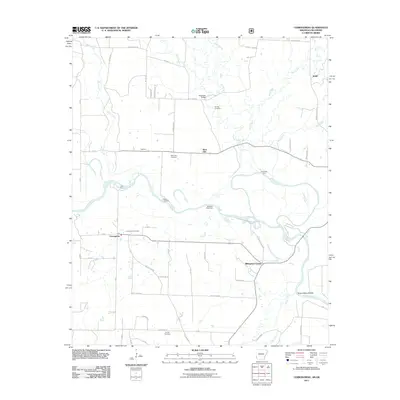
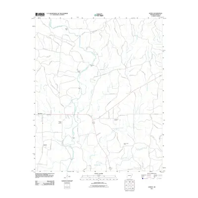
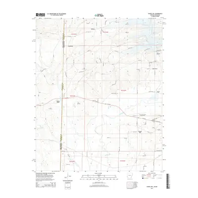
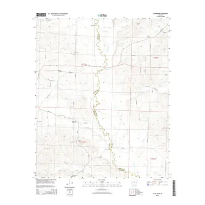
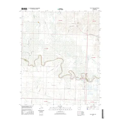
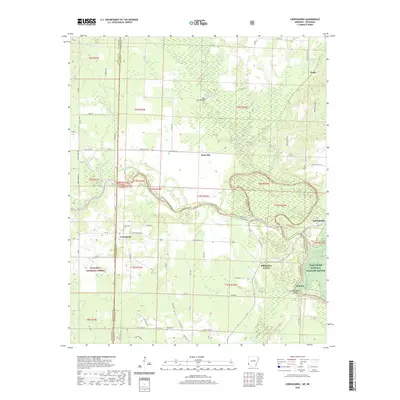
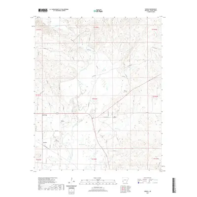
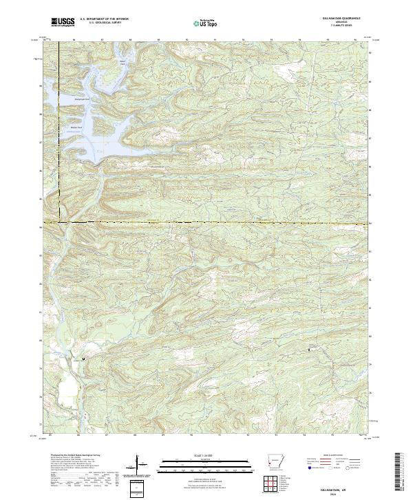
1964 Map of Gillham Dam
USGS Topo · Published 1966About this map
The Cossatot River corridor in Sevier and Howard Counties is captured here during a significant period of engineering transformation in the mid-1960s. The focal point of the landscape is the Gillham Dam (Under Constr), shown in the midst of its creation to regulate the river's flow. Upstream and downstream from the construction site, the river's natural character is still evident through several rapids and the traditional crossing at Three Shoes Ford.
Find a feature on this map
24 named features on this map. Tap any name to fly to it.
Don’t see what you’re looking for? This feature index may not catch every label — zoom into the map to look around manually.
Map Details
Editions of this 1964 Gillham Dam Map
This is the sole edition of this map. No revisions or reprints were ever made.
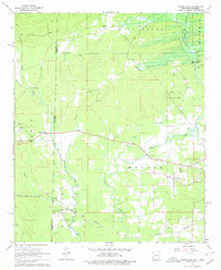
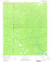
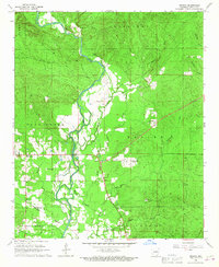
Historical Maps of Polk County Through Time
43 maps found
1950 Falls Chapel
Sevier County, AR
1951 Cerrogordo
Sevier County, AR
1951 Falls Chapel
Sevier County, AR
1951 Silver Ridge
Sevier County, AR
1964 Gillham Dam
Sevier County, AR
1965 Chapel Hill
Sevier County, AR
1966 De Queen NW
Sevier County, AR
1966 Geneva
Sevier County, AR
2011 Cerrogordo
Sevier County, AR
2011 Chapel Hill
Sevier County, AR
2011 De Queen NW
Sevier County, AR
2011 Falls Chapel
Sevier County, AR
2011 Geneva
Sevier County, AR
2011 Gillham Dam
Sevier County, AR
2011 Silver Ridge
Sevier County, AR
2014 Cerrogordo
Sevier County, AR
2014 Chapel Hill
Sevier County, AR
2014 De Queen NW
Sevier County, AR
2014 Falls Chapel
Sevier County, AR

2014 Geneva
Sevier County, AR
2014 Gillham Dam
Sevier County, AR
2014 Silver Ridge
Sevier County, AR
2017 Cerrogordo
Sevier County, AR
2017 Chapel Hill
Sevier County, AR
2017 De Queen NW
Sevier County, AR
2017 Falls Chapel
Sevier County, AR
2017 Geneva
Sevier County, AR
2017 Gillham Dam
Sevier County, AR
2017 Silver Ridge
Sevier County, AR
2020 Cerrogordo
Sevier County, AR
2020 Chapel Hill
Sevier County, AR
2020 De Queen NW
Sevier County, AR
2020 Falls Chapel
Sevier County, AR
2020 Geneva
Sevier County, AR
2020 Gillham Dam
Sevier County, AR
2020 Silver Ridge
Sevier County, AR
2024 Cerrogordo
Sevier County, AR
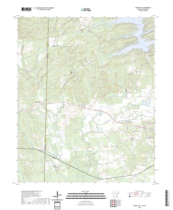
2024 Chapel Hill
Sevier County, AR
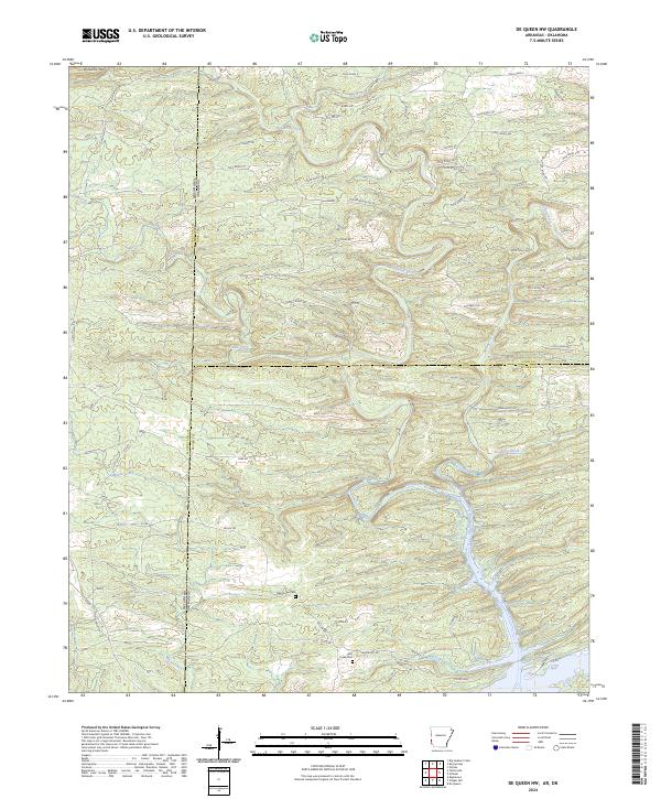
2024 De Queen NW
Sevier County, AR
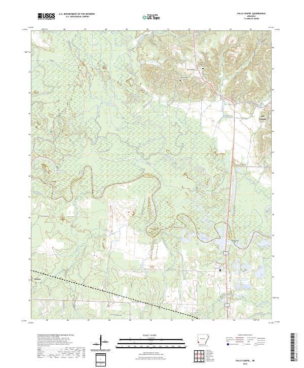
2024 Falls Chapel
Sevier County, AR
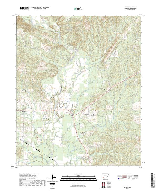
2024 Geneva
Sevier County, AR
2024 Gillham Dam
Sevier County, AR
2024 Silver Ridge
Sevier County, AR