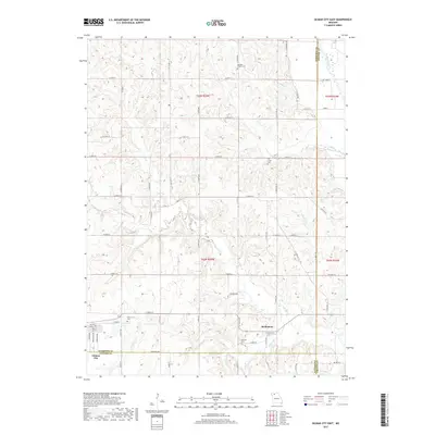
2017 Map of Gilman City East
USGS Topo · Published 2017About this map
Melbourne sits at the junction of several rural routes along the Harrison and Grundy county line, serving as a focal point for this agrarian landscape in northwest Missouri. The area is defined by a dense network of winding waterways, including the Thompson River and the aptly named Tombstone Cr, which carve through the terrain. For those researching local lineages, the map identifies several well-distributed burial grounds such as Springer Chapel Cem, Cat Creek Cem, Gilman Cem, and Mitchell Cem, often located near crossroads or small watercourses. To the southwest, the outskirts of Gilman City appear at the Daviess County border, where the grid of Ashwood Ave meets the surrounding township system. The presence of Ratliff Lake and the various branches of Sugar Cr and Little Cr illustrate the hydrological patterns that have shaped land use and property boundaries throughout this multi-county region.
Find a feature on this map
40 named features on this map. Tap any name to fly to it.
Don’t see what you’re looking for? This feature index may not catch every label — zoom into the map to look around manually.
Map Details
Editions of this 2017 Gilman City East Map
This is the sole edition of this map. No revisions or reprints were ever made.
Other maps of this area

1925 · Gilman
USGS Topo · 1:62,500

1946 · Gilman
USGS Topo · 1:48,000

1946 · Princeton
USGS Topo · 1:62,500

1947 · Blythedale
USGS Topo · 1:62,500

1948 · Gilman
USGS Topo · 1:62,500

1948 · Princeton
USGS Topo · 1:62,500

1948 · Trenton
USGS Topo · 1:62,500

1954 · Centerville
USGS Topo · 1:250,000

1957 · Centerville
USGS Topo · 1:250,000

1958 · Centerville
USGS Topo · 1:250,000