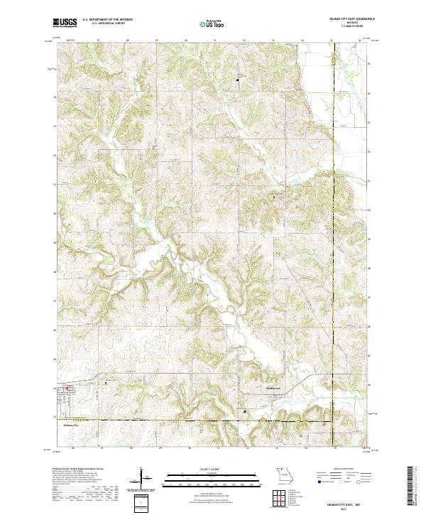
2021 Map of Gilman City East
USGS Topo · Published 2021About this map
Gilman City and the nearby settlement of Melbourne anchor this rural landscape in Harrison County, where the terrain is carved by a network of winding waterways. The eastern boundary is defined by the Thompson River, while the interior is drained by numerous streams including Sugar Cr, Tombstone Cr, and Furnace Cr. This 2021 survey illustrates the persistent agricultural and social layout of the region, emphasizing the importance of local heritage through the documentation of several family and community burial grounds. Scattered across the hills are the Springer Chapel Cem, Cat Creek Cem, and Mitchell Cem, each serving as a waypoint for genealogical research. The map also highlights Ratliff Lake and the convergence of several county lines, where Harrison, Grundy, and Daviess counties meet, reflecting the enduring political and geographic boundaries that have shaped this portion of northern Missouri for generations.
Find a feature on this map
45 named features on this map. Tap any name to fly to it.
Don’t see what you’re looking for? This feature index may not catch every label — zoom into the map to look around manually.
Map Details
Editions of this 2021 Gilman City East Map
This is the sole edition of this map. No revisions or reprints were ever made.
Other maps of this area

1925 · Gilman
USGS Topo · 1:62,500

1946 · Gilman
USGS Topo · 1:48,000

1946 · Princeton
USGS Topo · 1:62,500

1947 · Blythedale
USGS Topo · 1:62,500

1948 · Gilman
USGS Topo · 1:62,500

1948 · Princeton
USGS Topo · 1:62,500

1948 · Trenton
USGS Topo · 1:62,500

1954 · Centerville
USGS Topo · 1:250,000

1957 · Centerville
USGS Topo · 1:250,000

1958 · Centerville
USGS Topo · 1:250,000